Subject: Central Texas, Geology
Period: 1893 (published)
Publication:
Color: Black & White
Size:
6.9 x 10.2 inches
17.5 x 25.9 cm
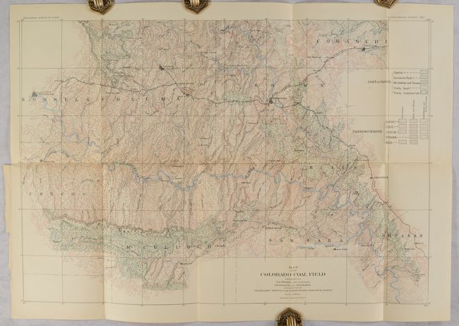
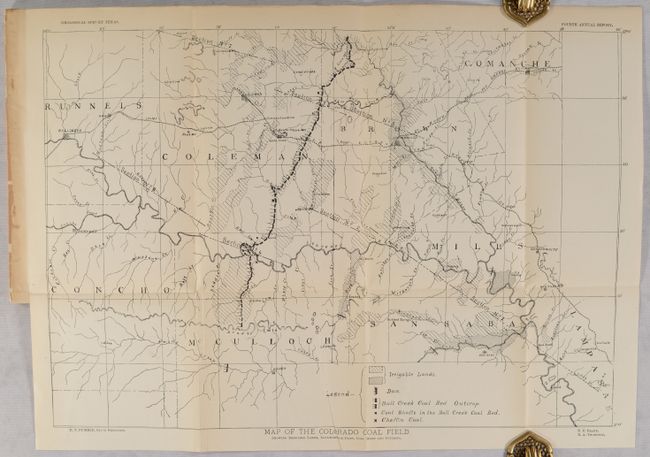
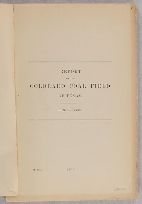
This disbound report represents Part Seven of the Fourth Annual Report of the Geological Survey of Texas. This Part is notable for the 92-page Report on the Colorado Coal Field of Texas by N.F. Drake describing both the general and economic geology of the region. The report is illustrated by two cross-sections and both a topographical map (19.5 x 13.7") and geological map (25.0 x 17.5") with the same title: Map of the Colorado Coal Field. Both maps cover the heart of Texas from approximately Ballinger east to Comanche and from Coleman south to Brady. The topographical map highlights irrigable lands, dams, coal mines and outcrops, while the larger geological map presents 18 different geological types from both the Carboniferous and Cretaceous periods through both color and pattern. Following Drake's report is the 35-page Report on Soils, Water Supply, and Irrigation of the Colorado Coal Field by R.A. Thompson. Disbound.
References:
Condition: B+
Contents have pleasant light toning. The geological map has a few short splits at the fold junctions and a short binding tear at left that has been closed on verso with archival tape.