Subject: Eastern United States
Period: 1804-32 (circa)
Publication:
Color: Black & White
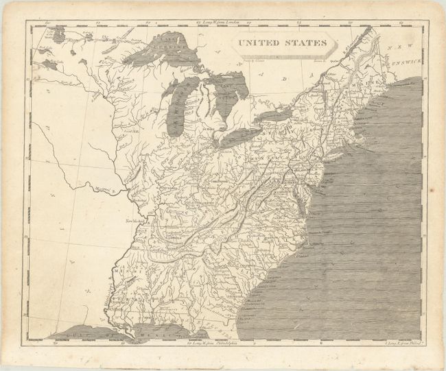
A. United States, by Arrowsmith & Lewis, from New and Elegant General Atlas, circa 1804 (9.9 x 7.9"). This small map depicts the United States confined to east of the Mississippi River, with the recently acquired Louisiana to its west. Florida is divided into East and West, and Mississippi Territory consists of present-day Alabama and Mississippi. To the west of Ohio is an unnamed Indiana Territory with Vincennes as its capital, bounded by the Illinois and Ohio rivers. Louisiana is virtually blank with the exception of the Missouri River. Drawn by Lewis and engraved by Tanner. Condition: Very light soiling with binding holes in bottom blank margin.
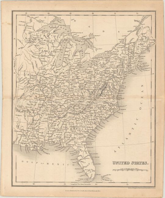
B. United States, by I. Dower, circa 1832 (8.3 x 10.1"). This map gives good detail of state boundaries, rivers and cities, and extends just past the Mississippi River. Northwest Territory encompasses Minnesota and Wisconsin. Drawn and engraved by John Dower and published by Orr & Smith. Condition: Light toning with a couple of tiny edge tears.
References:
Condition: B+
See description above.