Subject: Atlases
Period: 1777 (published)
Publication:
Color: Black & White
Size:
5.4 x 8 inches
13.7 x 20.3 cm
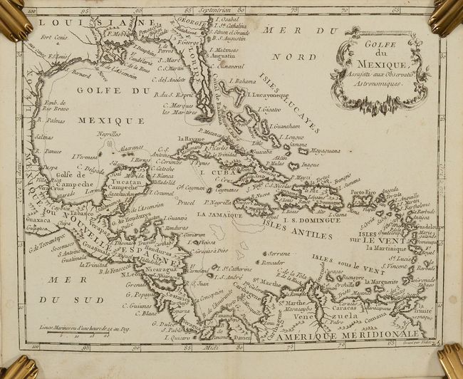
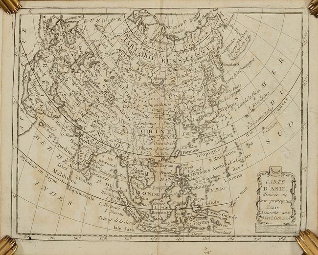
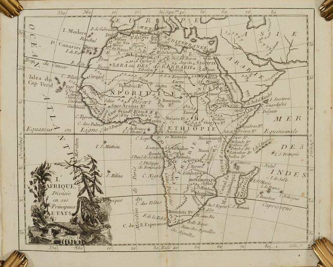
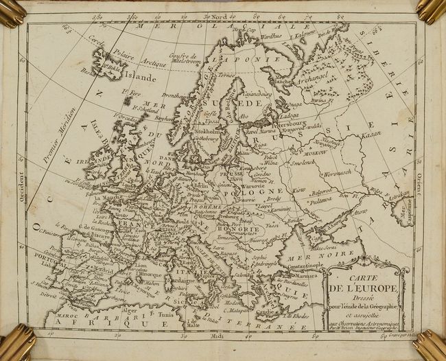
This atlas devotes a larger than usual number of maps to regions outside of Europe and includes 28 plates which consist of 26 double-page maps, a folding map of France and an armillary sphere. The maps devoted to the Americas include a map of North America, South America, the Gulf of Mexico, New England, Virginia and Maryland, and Jamaica. There are also several nice Asian maps.
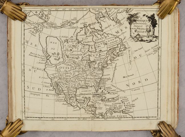
The map of North America, L'Amerique Septentrionale Divisee en ses Principaux Etats, shows the imaginary Mer de l'Ouest and a Northwest Passage stretching from Baffin Bay to the Archipel St. Lazare. There is not yet any sign of a recognizable Alaska. The British colonies are confined on the eastern seaboard with the huge French Louisiana territory stretching to the Pacific Northwest. Ft. Cenis is located in present-day Texas, and Habitations de Francois refugies appear above Charleston. The simple title cartouche features two Native Americans. The map is apparently based on Janvier's map of the same title.
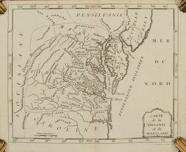
The map of Virginia and Maryland, Carte de la Virginie et du Mariland, exhibits some very odd boundaries. Maryland is an ill-defined wedge between Virginia and Pennsylvania and does not extend beyond the Appalachians. Maryland's most prominent settlement is St. Marie, the colony's first capital. The Delaware boundary indicated on the map was made following the conclusion of a long land dispute between Lord Baltimore and the Penn family in 1760. Strangely, Philadelphia is missing from the map while Alexandria is also called Belhaven. The colonies are labeled Possessions Angloises, and Louisiane is clearly marked on the western slope of the Allagany Montagnes. There is not a great deal of detail, but there are some interesting names including the Tabaco Montagnes.
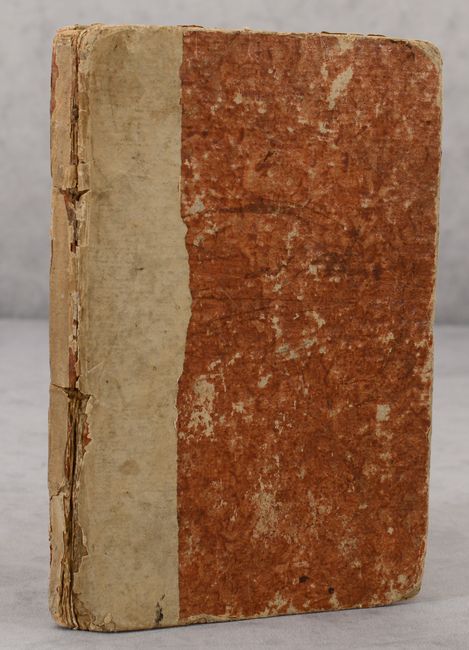
Hardbound in brown paper over boards.
References: McGuirk #168, #169.
Condition: B+
Maps are generally very good with an occasional small spot or stain. There is a chip in the lower right corner of the Turkey in Asia map with some loss of image. A few other maps have tiny lower centerfold splits or tears that have been archivally repaired. The hinge is starting and the covers are bumped and worn. There are some pencil notations on the inside front cover.