Subject: Holy Land
Period: 1836 (dated)
Publication:
Color: Hand Color
Size:
22.8 x 36.7 inches
57.9 x 93.2 cm
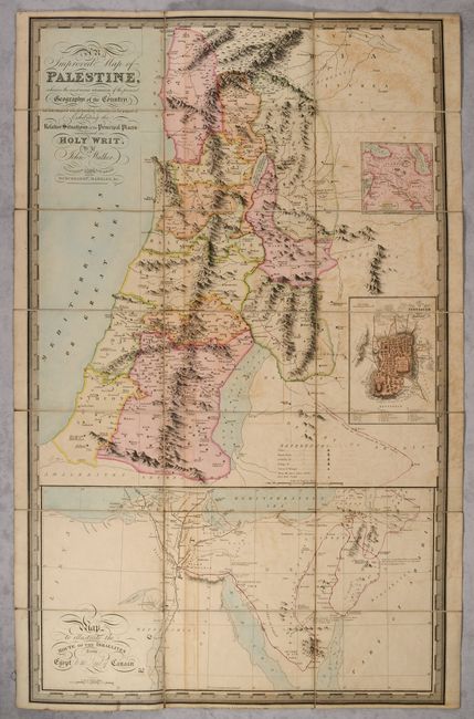
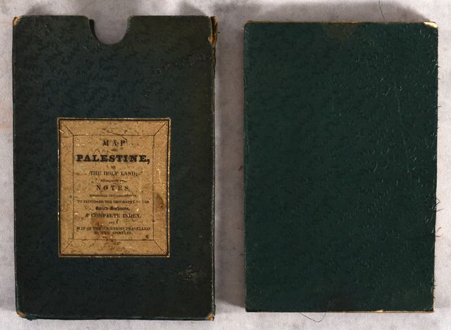
A beautifully engraved and rare map of the Holy Land based upon the explorations of Burckhardt and Mangles in the early 19th century. The map is divided into the twelve tribes and shows excellent topographical detail with a key identifying cities, royal cities, refuges, and battle sites. Features three inset maps including the city of Jerusalem and a large Map to Illustrate the Route of the Israelites from Egypt to the Land of Canaan at bottom. Surrounded by a decorative keyboard-style border. Third edition, published by Richard Holmes Laurie in London. Separately issued, the map folds into its original slipcase (5.7 x 8.5") with title label on the front cover. OCLC lists only 4 examples of this map, none of which are this third edition.
References:
Condition: B
Dissected and backed with contemporary linen. There is light offsetting and minor soiling. The slipcase is soiled with some wear along the edges.