Catalog Archive
Auction 189, Lot 433
NO RESERVE
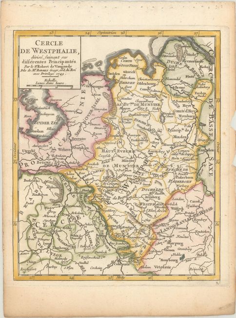
"Cercle de Westphalie, Divise Suivant ses Differentes Principautes", Robert de Vaugondy, Didier
Subject: Western Europe
Period: 1748 (published)
Publication: Atlas Portatif Universel et Militaire
Color: Hand Color
Size:
6.4 x 7.8 inches
16.3 x 19.8 cm
Download High Resolution Image
(or just click on image to launch the Zoom viewer)
(or just click on image to launch the Zoom viewer)