Catalog Archive
Auction 189, Lot 308

"Carte de l'Isle de la Martinique Colonie Francoise de l'une des Isles Antilles de l'Amerique Dressee sur des Plans Manuscrits...", Delisle/Dezauche
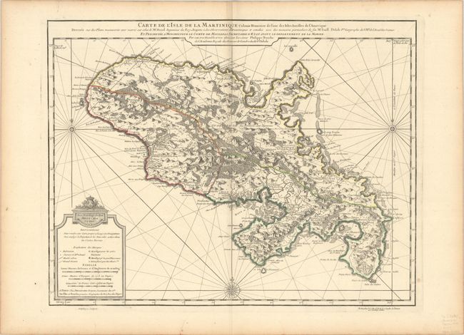
Subject: Martinique

Period: 1779 (dated)

Publication:

Color: Hand Color

Size:
23.6 x 18.5 inches
59.9 x 47 cm
Download High Resolution Image
(or just click on image to launch the Zoom viewer)

A large chart of the island engraved to show mountains, rivers, settlements, churches, roads, and forts. The three divisions of the island are delineated, designating areas for the Jesuits, Cappuchins, and the Dominicans. The chart includes a key, three distance scales, rhumb lines and three compass roses. Engraved by Delahaye. This is a later edition of the map, published after Dezauche acquired Delisle's plates following Buache's death in 1773.

References:

Condition: A

A fine impression on a sturdy sheet with a watermark of a Maltese cross encircled in rosary beads. There are a couple short printer's creases, a few minor spots, and marginal toning.

Estimate: $240 - $300

Sold for: $180

Closed on 9/14/2022

Archived