Subject: New York City, New York
Period: 1865 (published)
Publication:
Color: Black & White
Size:
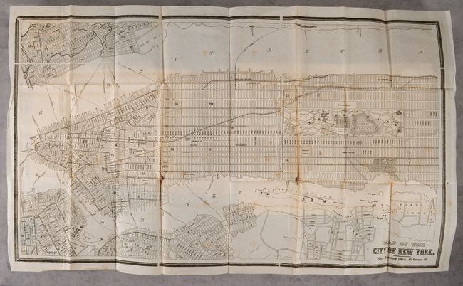
33.5 x 19.5 inches
85.1 x 49.5 cm
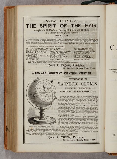
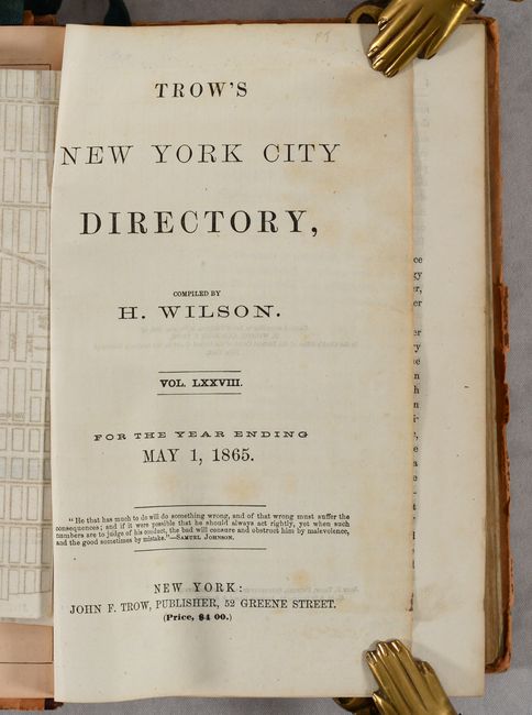
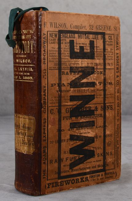
This is the 78th volume of Trow's directory containing a large street map of the city at the front of the volume. It covers Manhattan from The Battery north to 119th Street as well as portions of Brooklyn and New Jersey connected by ferry routes (prior to Brooklyn Bridge). The map shows good detail of Central Park and locates Madison Square, Union Square, Washington Square, City Hospital, Castle Garden, and more. The directory contains well over 1,000 pages of text including over 150 pages of advertisements alphabetized by industry including auctioneers, bakers, confectioners, and dentists to name a few. The volume also features a half-page illustrated advertisement for "Perce's Magnetic Globes." Compiled by H. Wilson and published by John Trow. Hardbound with leather spine over boards. We found only one example of this directory on OCLC.
References: cf. Rumsey #4971.
Condition: B+
The folding map is bright with light foxing and small loss at a couple of fold junctions. Directory text is unusually clean and bright with an occasional spot of foxing. Binding has average wear.