Subject: Nantucket, Massachusetts
Period: 1882 (published)
Publication:
Color: Black & White
Size:
4.4 x 6.8 inches
11.2 x 17.3 cm
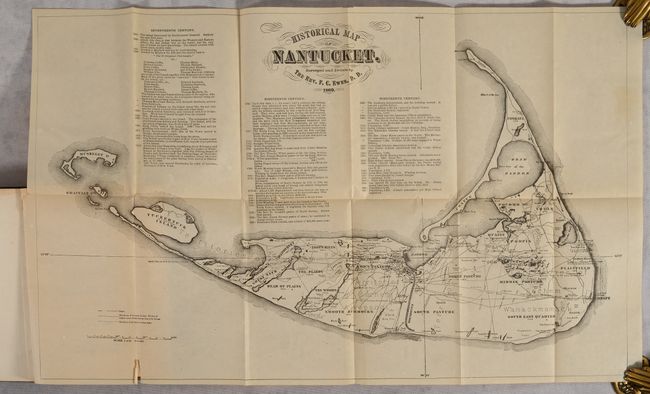
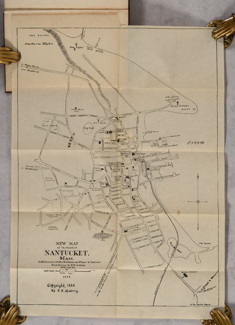
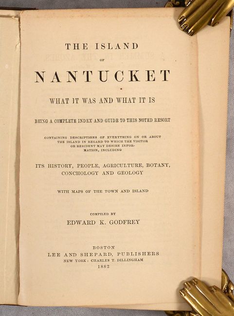
Compiled by Edward K. Godfrey and published by Boston-based Lee and Shepard, this charming and informative volume claims to contain "descriptions of everything on or about the island in regard to which the visitor or resident may desire information, including its history, people, agriculture, botany, conchology and geology." The first of the book's two folding maps, Historical Map of Nantucket (19.9 x 12.5"), is dated 1869 and credited to the Rev. F.C. Ewer, D.D. It features a chronology of events on the island spanning from its discovery by Bartholomew Gosnold in 1602 to the organization of the high school's alumni association in 1865. At the end of the book is the second map, New Map of the Streets of Nantucket, Mass. with Location of Public Buildings and Places of Interest, designed by Godfrey himself. 365 pp., plus several pages of local advertisements. Hardbound in brown cloth with gilt titles on cover and spine.
References:
Condition: B+
The maps are both issued folding with faint, pleasant toning; the map of the island has a short fold separation at bottom and a marginal binding tear. Text is lightly toned. Covers have light shelf wear with a small chip along the bottom edge of the front cover.