Subject: Montana, Wyoming & Yellowstone
Period: 1872 (published)
Publication:
Color: Black & White
Size:
5.8 x 9.2 inches
14.7 x 23.4 cm
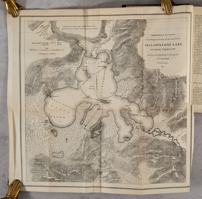
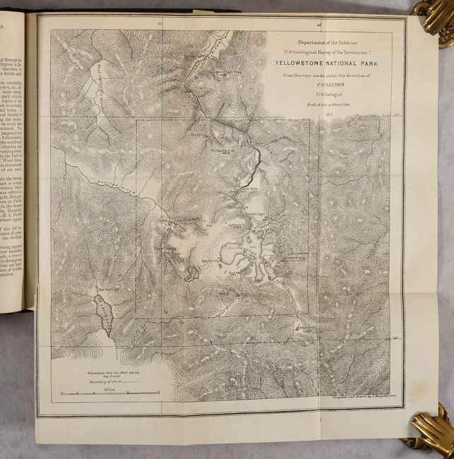
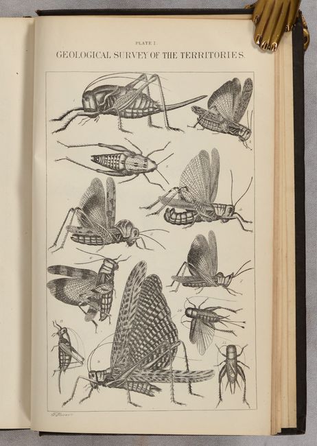
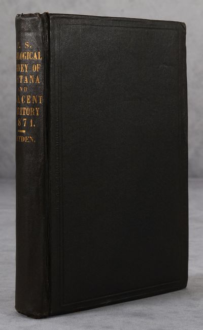
Hayden, an American geologist, led the first federally-funded geological survey of Montana, Wyoming, and the Yellowstone region in 1871. The following year he published his findings in this report, which was presented to Congress and was instrumental in convincing Congress to establish Yellowstone as the first National Park in the United States. The report includes 5 folding maps, 2 plates of insects, and numerous in-text illustrations of geysers, geological formations, and more. The maps included are:
A. Yellowstone National Park (11.2 x 11.9").
B. Yellowstone Lake Wyoming Territory (14.8 x 14.5").
C. Lower Geyser Basin Fire Hole River Wyoming Territory (10 x 11.1").
D. Upper Geyser Basin Fire Hole River Wyoming Territory (11.5 x 9.2"). Two examples of this map were included.
E. White Mountain Hot Springs, Gardiner's River (6.7 x 7.2").
Octavo, 538 pages. Hardbound in original brown cloth with gilt title on spine.
References:
Condition: A
Maps are clean and bright with occasional faint offsetting and short binding tears. Text is near fine with a hint of toning. Covers have light wear with bumped corners.