Subject: Texas & Oklahoma
Period: 1881-85 (circa)
Publication:
Color: Hand Color
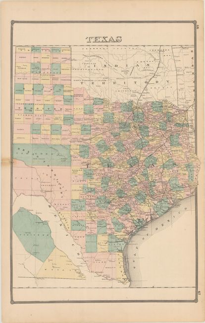
A. Texas, by H.R. Page & Co., circa 1881 (16.9 x 25.0"). This large map is a scarce issue of Texas by the little-known H.R. Page & Co. firm of Chicago. County development is shown in attractive full hand color, which is uncommon for this late date. The map locates cities, towns, rivers, lakes, and an extensive railroad network. A small inset at bottom shows the western counties of Presidio and El Paso upside down in order to fit on the sheet. The verso is filled with various illustrations in Wisconsin including flour mills, a lumber yard and a steam printing house. This map was included in Page’s Illustrated Historical Atlas of Wisconsin. Page had purchased the plates from the 1878 edition by Synder, Van Vechten & Company, and expanded the atlas to include thirteen other state maps including this one. Condition: There is some minor staining mostly in the left blank margin. Short centerfold separations confined to the side margins have been closed on verso with archival tape. (B+)
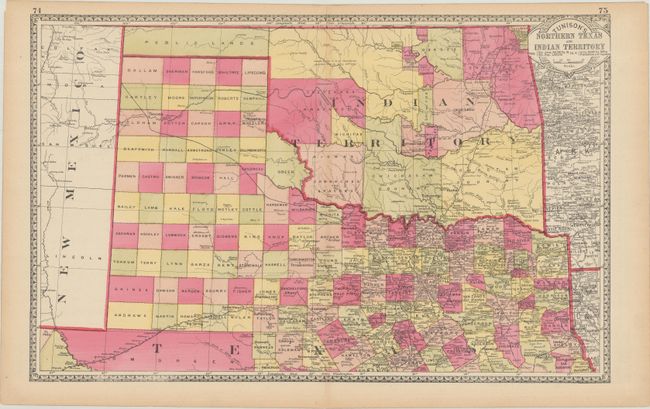
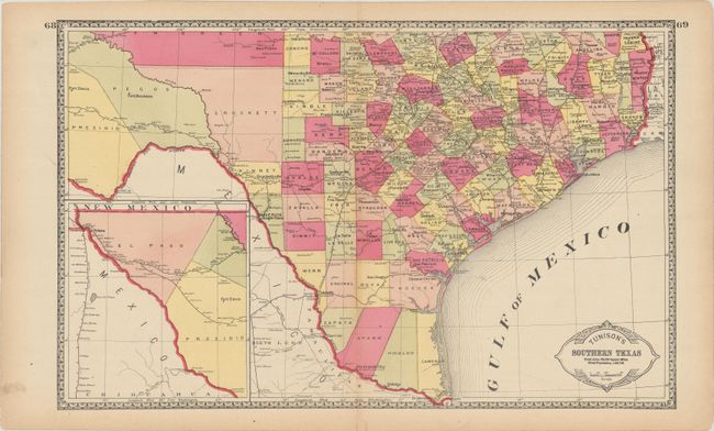
B. [Lot of 2] Tunison's Northern Texas and Indian Territory and Tunison's Southern Texas, by H. C. Tunison, circa 1885 (each 20.1 x 12.6"). In Tunison's style, these are finely lithographed maps with original bright coloring. By this period most mapmakers had adopted printed color rather than the more labor intensive hand coloring employed here. Each sheet is decorated with a Victorian style border and title cartouche, which gives the population of Texas as 1,591,749 and no population reported for Indian Territory. On the southern map is an inset "The Western Part of Texas on Reduced Scale." On the northern map, the panhandle of Oklahoma is Public Lands. Indian Territory is clearly divided into about 20 different Indian lands. Greer County, originally established in 1860, is still part of Texas. It was abolished and awarded to Indian Territory by a Supreme Court decision in 1896. There is good detail of railroads with all stops located and named. Tunison's maps were printed on both sides; on the verso are single-page maps of Nebraska, Alabama, Wisconsin, and Minnesota. Condition: There is light toning along the sheet edges. (A)
References:
Condition:
See description above.