Catalog Archive
Auction 187, Lot 488

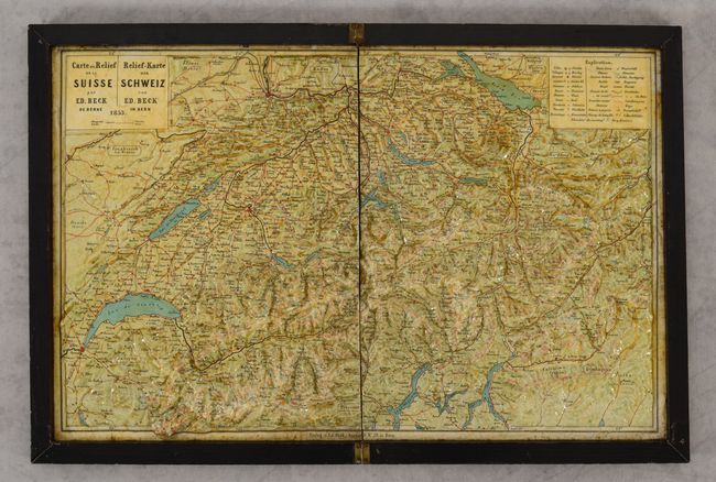
"Carte en Relief de la Suisse / Relief-Karte der Schweiz",

Subject: Switzerland

Period: 1853 (dated)

Publication:

Color: Printed Color

Size:
16.3 x 10.1 inches
41.4 x 25.7 cm
Download High Resolution Image
(or just click on image to launch the Zoom viewer)

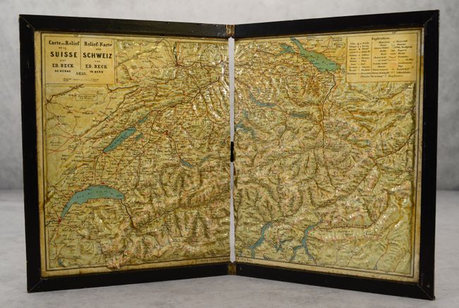
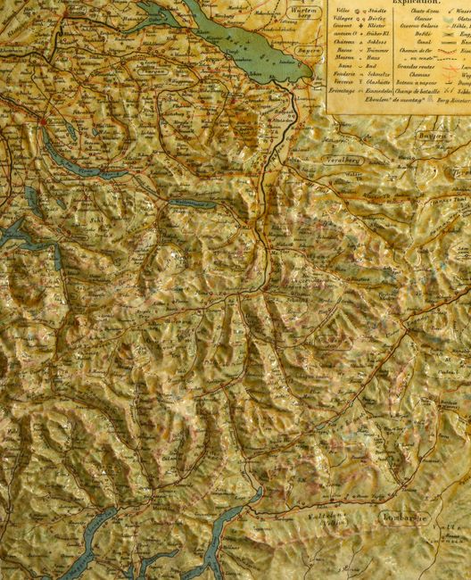
This remarkable three-dimensional, papier-mâché relief map shows the topography of Switzerland. A detailed dual-language (French and German) legend identifies towns, castles, glaciers, waterfalls, canals, roads, railroads, and much more. Published by Eduard Beck. The map is cut in half vertically and housed in a black wooden, book-style frame with hinges at the center and a ribbon closure.

References:

Condition: B+

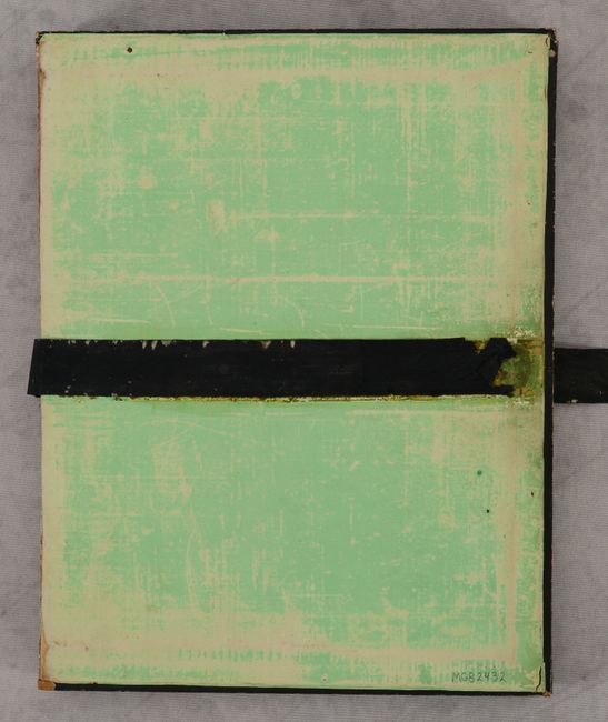
Light toning and soiling with a small chip on one mountain peak at bottom left. The box case is quite worn and the ribbon closure is partially detached, but the hinges are still intact.

Estimate: $275 - $350

Sold for: $200

Closed on 4/27/2022

Archived