Catalog Archive
Auction 187, Lot 488
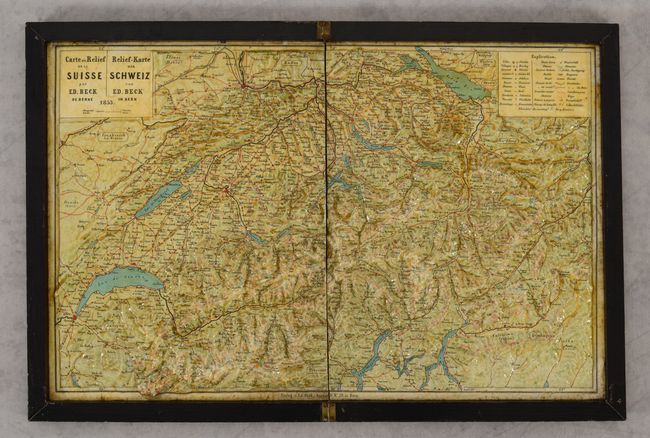
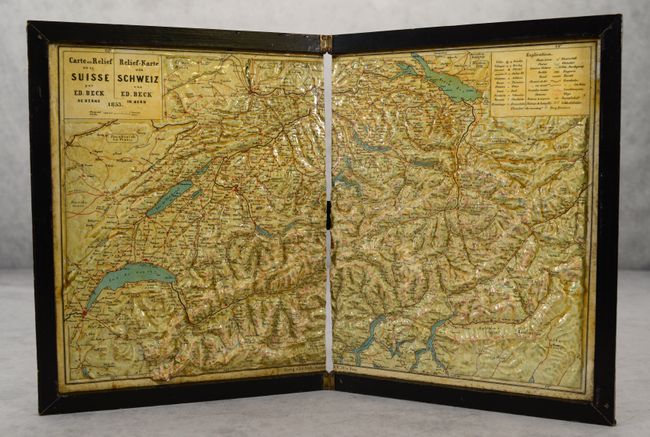
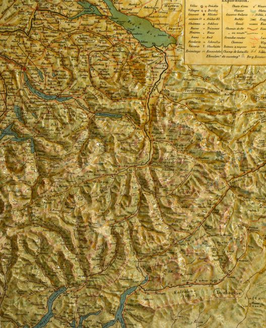
"Carte en Relief de la Suisse / Relief-Karte der Schweiz",
1 of 4
Subject: Switzerland
Period: 1853 (dated)
Publication:
Color: Printed Color
Size:
16.3 x 10.1 inches
41.4 x 25.7 cm
Download High Resolution Image
(or just click on image to launch the Zoom viewer)
(or just click on image to launch the Zoom viewer)