Subject: Northeastern Ohio
Period: 1874 (published)
Publication:
Color: Hand Color
Size:
14.4 x 17.4 inches
36.6 x 44.2 cm
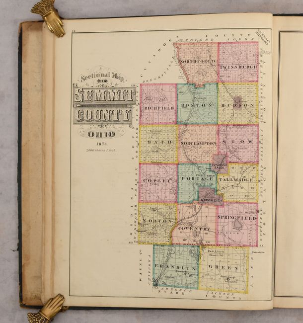
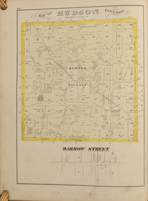
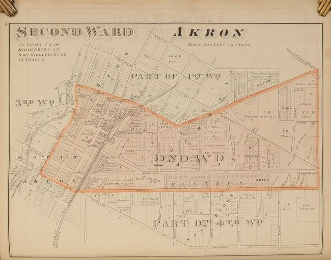
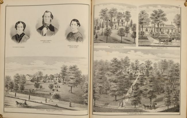
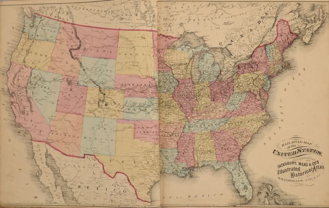
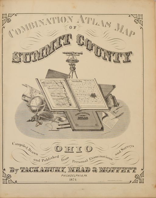
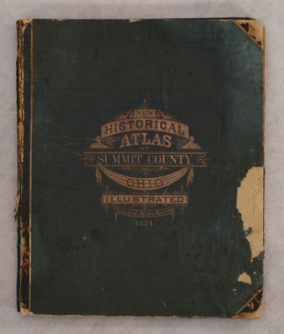
This uncommon atlas of Summit County, Ohio is complete with 27 township maps accompanied by an index map of the county, a folding map of the state of Ohio, and H.H Lloyd’s double-page Railroad Map of the United States. The township maps are incredibly detailed showing individual land ownership, farm houses, school houses, churches, mills, blacksmith shops, road, railroads, and more. Each map is followed by full-page and half-page illustrations of important farms, businesses, and prominent citizens making the atlas an overall excellent historical record. The atlas is completed by a history of the county, sketch of “prominent men and pioneers", and local advertisements. 139 pages. Hardbound in quarter black leather over green cloth boards with gilt title on the front cover. Published by Tackabury, Mead & Moffett in Philadelphia.
References:
Condition: B
Contents are good to very good with light soiling throughout. The map of the United States was trimmed by the binder to just inside the border at left and right, and the folding map of Ohio has several fold separations including an 8" separation at lower center. Binding is heavily worn and chipped, and both boards are nearly detached.