Subject: Atlases
Period: 1838 (circa)
Publication:
Color: Hand Color
Size:
10 x 12.2 inches
25.4 x 31 cm
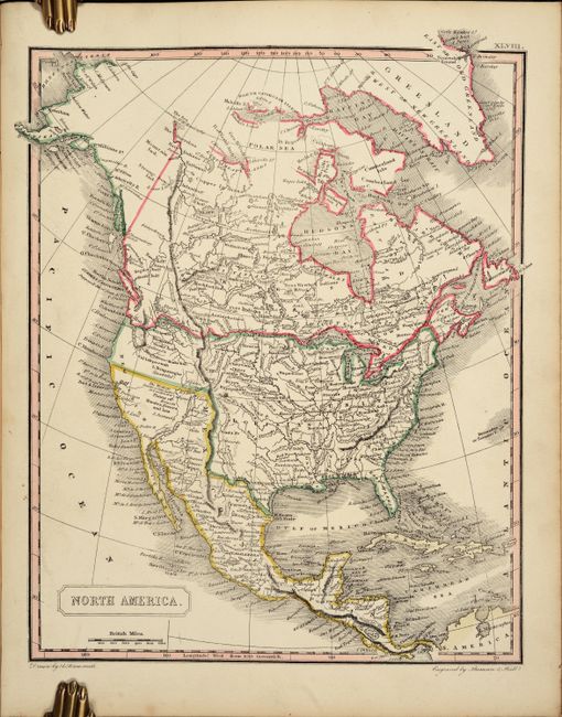
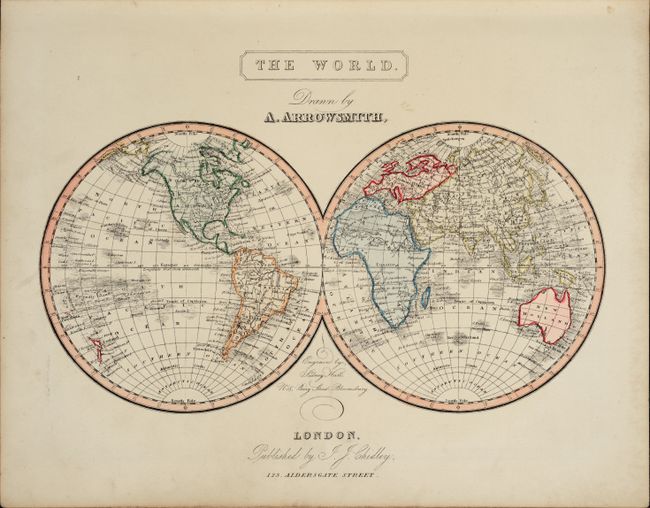
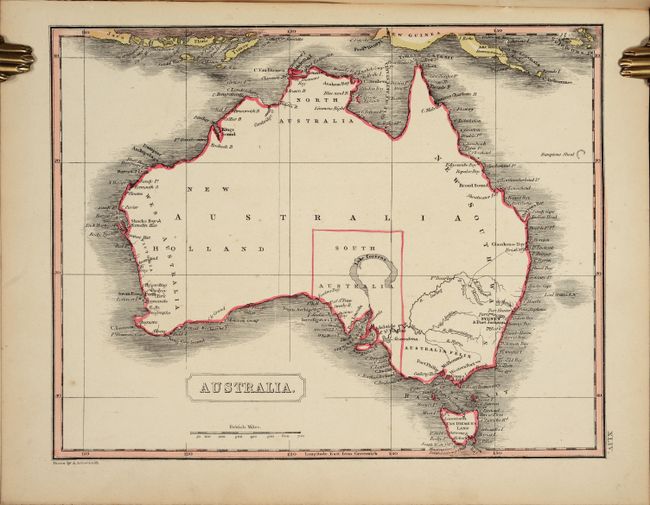
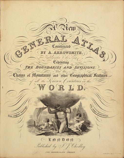
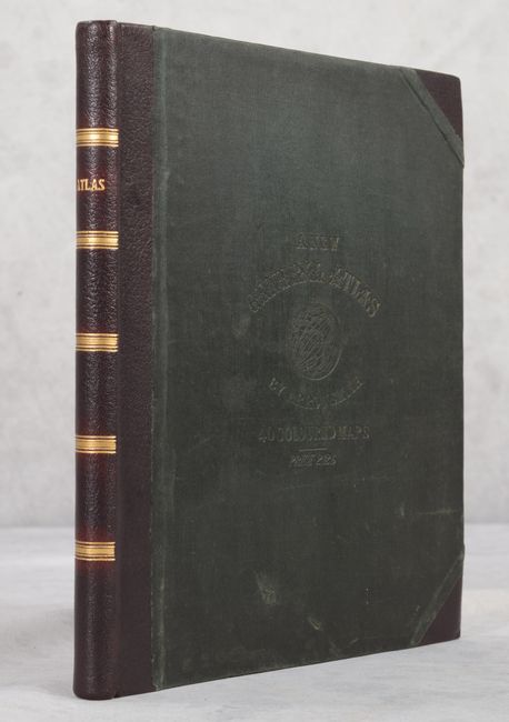
This complete atlas features 40 copperplate maps, each drawn by Arrowsmith the younger and engraved by Sidney Hall, with a few engraved by Thomson in collaboration with Hall. The maps include two world, 26 related to Europe and Scandinavia (including a 4-sheet maps of France and of Germany), 4 on Asia, 2 on Africa, Pacific Ocean, Australia, and 4 related to the Americas. The United States map shows the country confined to east of the Mississippi River, with the recently acquired Louisiana to its west. Georgia extends to the Mississippi River, and the unnamed Northwest Territory occupies the lands to the north of the Ohio River. Numerous forts and Indian tribes are located in this region, along with bounty land grants for the Illinois Company and the New Jersey Company along the Mississippi River. Florida is under U.S. control and is no longer divided between East & West, and is continued in an inset on the same scale. Title page has Atlas holding the globe above two putti, one sailing a dingy, the other engaged in cartographic studies with a globe, map and dividers. Quarto. Complete with engraved title page, list of maps, 40 maps, and 14-page Index. Hardbound with contemporary black cloth embossed boards, professionally rebacked with quarter leather spine and tips with gilt embossing on spine.
References:
Condition: B+
The maps are in contemporary outline color with light toning and occasional light soiling. There is a light dampstain confined to the blank margins at top that affects the index pages and a few of the maps at the end of the volume. The covers show very light wear.