Subject: Michigan
Period: 1873 (dated)
Publication:
Color: Hand Color
Size:
23.2 x 30.4 inches
58.9 x 77.2 cm
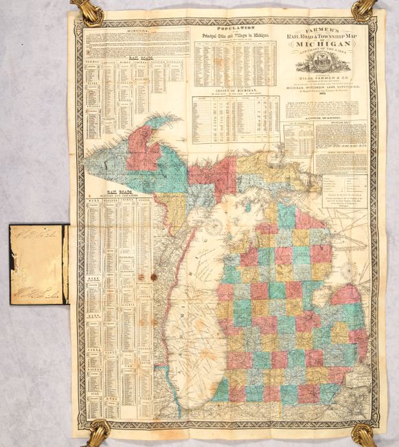
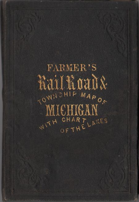
This highly detailed map is delineated by county along with the familiar township grid pattern of the public survey system. A legend identifies villages, county seats, mills, copper mines, and Indian reservations. The extensive railroad network is prominently depicted, with two tables at left showing the various railroads with both stations and distances between stops. Additional tables present population statistics from the 1870 census, and text touts the mineral wealth in the state, stating that Lake Superior iron has proven "by actual test to be the best in the world." Surrounded by a decorative border. Folds into brown cloth boards with gilt title on the front cover (4.0 x 6.0").
Silas' father, John Farmer, was the first to publish a separate map of Michigan Territory in 1825. Silas took over the family business in 1859 upon John's death, continuing to publish maps of the state into the 1880s.
References:
Condition: B
Issued folding with some staining primarily at left and several short splits at the fold junctions that have been mostly closed on verso with archival tape. Covers have light wear with the rear board warped.