Subject: Fort Worth, Texas
Period: 1943-60 (dated)
Publication:
Color: Printed Color
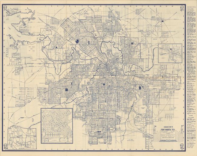
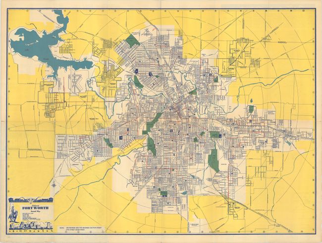
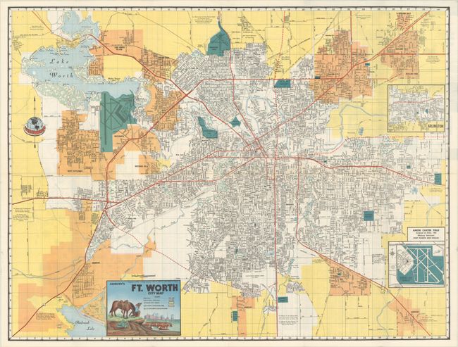
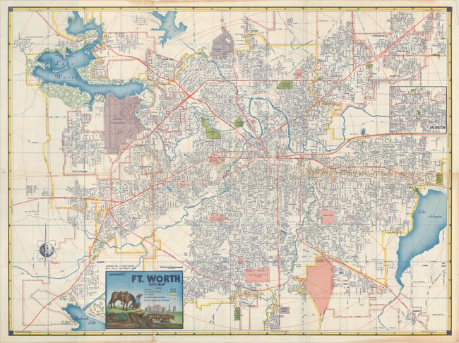
These four maps document the explosive growth of Fort Worth between 1940 and 1960 as the population doubled. The mapmaker, J. Foster Ashburn, was based in Fort Worth and produced maps mostly of cities in Texas and the South. They are easily distinguished by their bright coloring and the main titles were illustrated by Melvin Warren who became a noted Western artist. Unlike most mapmakers of the period, Ashburn was “vertically integrated,” handling all the production work in house, including printing.
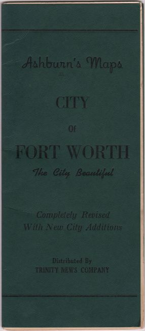
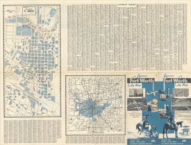
A. Ashburn's Map of Fort Worth, Tex., dated 1943 (22.5 x 18.1"). An unusual example that folds into faux cloth wrappers. Condition: On a clean sheet with one small fold separation and some paper weakness (including a small hole) where the map was adhered to the wrappers. (B+)
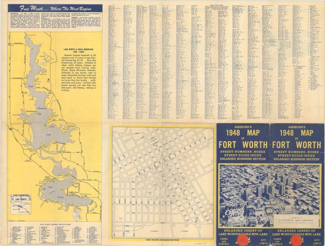
B. Ashburn's Fort Worth Revised Map, dated 1947 (24.2 x 17.8"). Cover has a printed label of the California Map Company, Los Angeles with a new price pasted over the original one. Condition: There are several fold separations including a 1" separation at right. (B+)
C. Ashburn's Ft. Worth City Map, dated 1956 (24.2 x 18.3"). Condition: A colorful example with a couple of tiny splits at the fold junctions. (A)
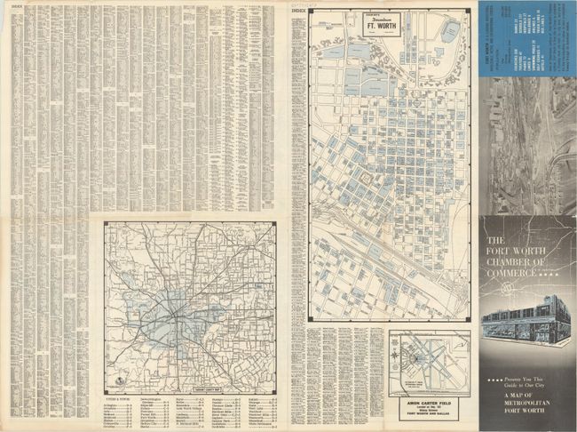
D. Ashburn's Ft. Worth City Map, dated 1960 (23.2 x 17.3"). Condition: Minor toning along a couple of folds and a few tiny splits at the fold junctions. (B+)
References:
Condition:
Issued folding. See description above.