Subject: Central California
Period: 1960 (circa)
Publication:
Color: Printed Color
Size:
16.6 x 21.2 inches
42.2 x 53.8 cm
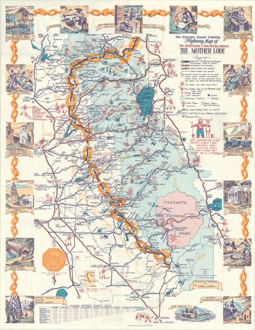
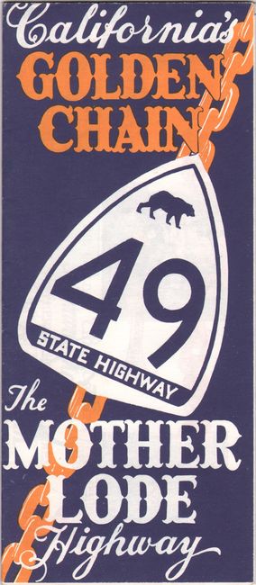
This promotional map covers the region from Yosemite National Park to north of Lake Tahoe with a large gold chain delineating the "Mother Lode," a reference to the California Gold Rush that made this region famous. Includes a legend with information relevant to the tourist including ski areas, campgrounds, lakes, state parks, and more. Surrounded by a decorative vignette border illustrating the region's gold mining history. Delineation and cartography by William Wintle and printed by East Wind Printers in San Francisco. Self-folding (3.75" x 8.5") with related text and illustrations on verso.
References: Rumsey #8128.
Condition: A
A colorful example on a bright sheet, issued folding.