Catalog Archive
Auction 183, Lot 85

"Charte von dem Engellaendischen u. Franzoesischen Besitzungen in Nord America...", Schreiber, Johann Georg

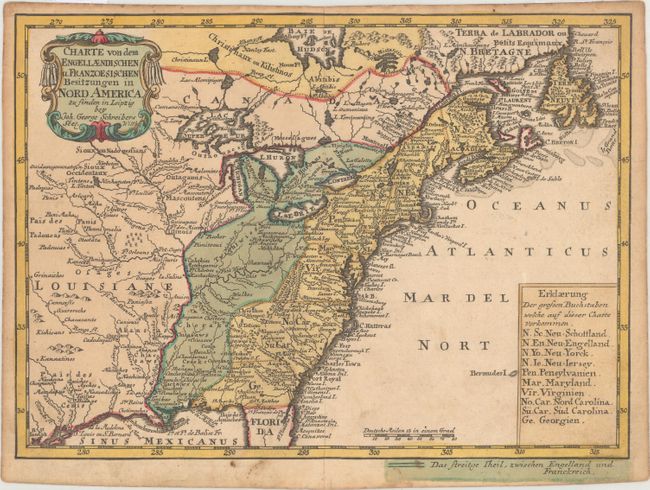
Subject: Colonial Eastern United States & Canada

Period: 1753 (circa)

Publication: Atlas Selectus

Color: Hand Color

Size:
9.4 x 6.9 inches
23.9 x 17.5 cm
Download High Resolution Image
(or just click on image to launch the Zoom viewer)

This boldly engraved map details the British and French colonies in North America on the eve of the French & Indian War. The coloring distinguishes the disputed region between the Appalachian Mountains and the Mississippi River. The newly formed colony of Georgia (1752) is included in the list of English colonies at lower right. The large Louisiane region west of the Mississippi is filled with Indian tribes and villages.

References:

Condition: B+

Original color with light toning and soiling. There are remnants of hinge tape on verso.

Estimate: $350 - $425

Sold for: $500

Closed on 6/9/2021

Archived