Catalog Archive
Auction 182, Lot 403

NO RESERVE

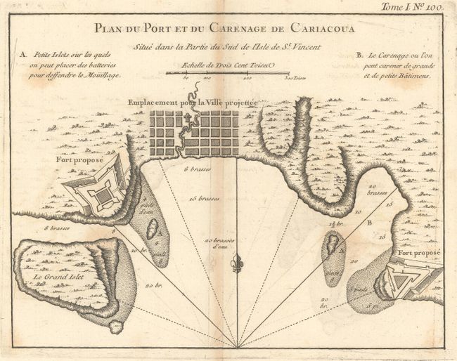
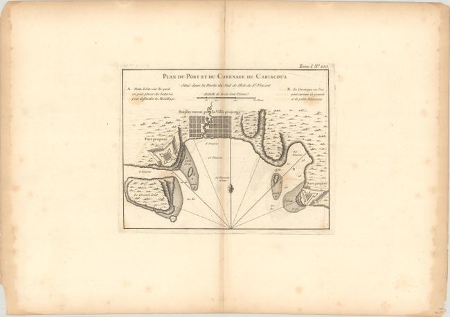
"Plan du Port et du Carenage de Cariacoua Situe dans la Partie du Sud de l'Isle de St. Vincent", Bellin, Jacques Nicolas

Subject: St. Vincent

Period: 1764 (published)

Publication: Le Petit Atlas Maritime

Color: Black & White

Size:
8.6 x 6.6 inches
21.8 x 16.8 cm
Download High Resolution Image
(or just click on image to launch the Zoom viewer)

This attractive bird's-eye plan shows the town of Calliaqua (Cariacoua) at the southern end of St. Vincent. Two "proposed forts" are depicted, as well as soundings, shoals, and a location suitable for anchoring both small and large vessels. The tiny island just south of Young Island, here called Le Grand Islet, later became the location for Fort Duvernette.

References: Mickwitz & Miekkavaara #10:I [100]; Phillips (A) #638.

Condition: B

On a watermarked sheet with scattered foxing, minor offsetting, and light toning along the centerfold. Dampstains are confined to the left and right sheet edges.

Estimate: $100 - $130

Sold for: $18

Closed on 4/28/2021

Archived