Catalog Archive
Auction 182, Lot 403
NO RESERVE
"Plan du Port et du Carenage de Cariacoua Situe dans la Partie du Sud de l'Isle de St. Vincent", Bellin, Jacques Nicolas
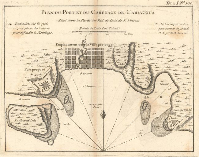

Subject: St. Vincent
Period: 1764 (published)
Publication: Le Petit Atlas Maritime
Color: Black & White
Size:
8.6 x 6.6 inches
21.8 x 16.8 cm
Download High Resolution Image
(or just click on image to launch the Zoom viewer)
(or just click on image to launch the Zoom viewer)