Catalog Archive
Auction 182, Lot 387

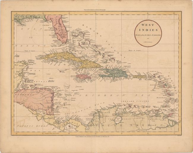
"West Indies Drawn from the Best Authorities", Russell, John C.
Subject: Caribbean

Period: 1801 (dated)

Publication: Guthrie's New System of Geography

Color: Hand Color

Size:
18.6 x 13.6 inches
47.2 x 34.5 cm
Download High Resolution Image
(or just click on image to launch the Zoom viewer)

This attractive map covers the entire Caribbean Basin along with Florida and portions of Central and South America. Florida is divided between East & West. There is excellent detail along the coast, especially the numerous reefs and keys off of the Honduran coast. Published by G.G. & J. Robinson and J. Mawman in London.

References:

Condition: B+

On a watermarked sheet with light toning and offsetting.

Estimate: $180 - $210

Sold for: $130

Closed on 4/28/2021

Archived