Subject: California, Southwestern United States
Period: 1969 (circa)
Publication:
Color: Printed Color
Size:
34.8 x 23.5 inches
88.4 x 59.7 cm
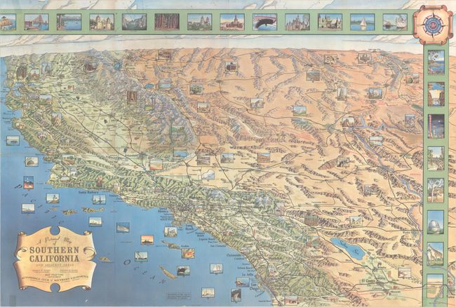
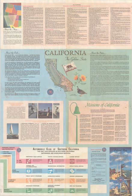
This colorful pictorial map of Southern California was created by George W. Hayes in the Map Drafting Department of the Automobile Club of Southern California. While the title emphasizes the southern California region, it actually extends north to San Francisco and east to Salt Lake City and the Grand Canyon. Details include highways, interstates, towns and cities, pictorial topography and land type. The map locates 75 places of interest with numbered illustrations and corresponding list on verso. Additional illustrations around the border include the Golden Gate Bridge, Lake Tahoe, Yosemite Valley, Chinese Theater, and Palomar Observatory. Related text and illustrations on verso. Self-folding.
References: Rumsey #8137.
Condition: B+
Issued folding with a few tiny splits at the fold junctions and a 1" edge tear at bottom that has been closed on verso with archival tape. There is some minor soiling and remnants of old tape in the sheet corners.