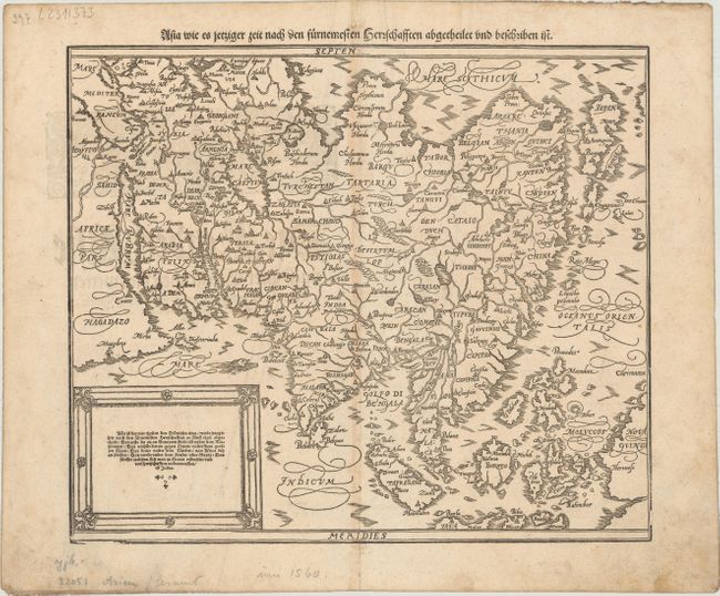
Subject: Asia
Period: 1598 (published)
Publication: Cosmographey oder Beschreibung Aller Laender...
Color: Black & White
Size:
14.3 x 12.2 inches
36.3 x 31 cm
Sebastian Munster (1489 - 1552) was one of the three most renowned cartographers of the sixteenth century, along with Mercator and Ortelius. Munster's Geographia and Cosmographia Universalis were two of the most widely read and influential books of the period. His editions of Ptolemy's Geographia, published between 1540 and 1552, were illustrated with 48 woodcut maps, the standard 27 Ptolemaic maps supplemented by 21 new maps. These new maps included a separate map of each of the known continents and marked the development of regional cartography in Central Europe. The antique geography was a prelude to Munster's major work, the Cosmographia, which was published in nearly 30 editions in six languages between 1544 and 1578 and then was revised and reissued by Sebastian Petri from 1588 to 1628. The Cosmographia was a geographical as well as historical and ethnographic description of the world. It contained the maps from the Geographia plus additional regional maps and city views with nearly 500 illustrations which made it one of the most popular pictorial encyclopedias of the sixteen century.
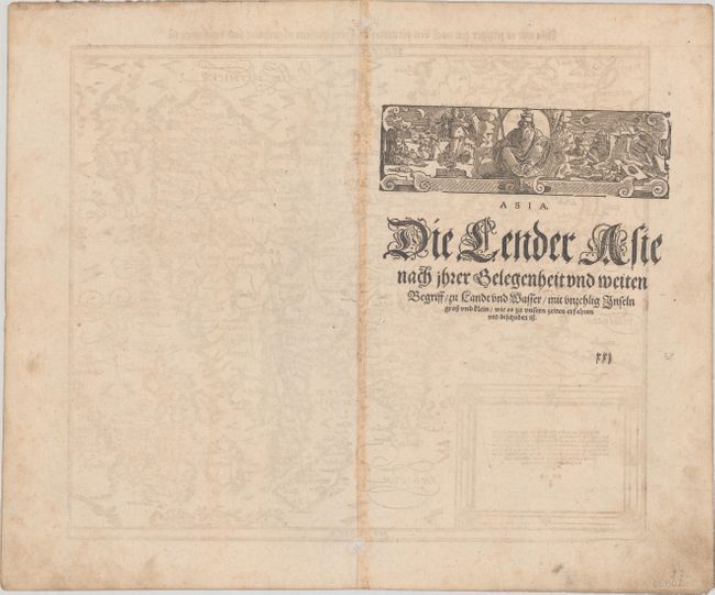
Handsome woodblock map based on Ortelius' 1570 map of Asia, which was the standard map of Asia for more than forty years. Petri added this map to Munster's Cosmographia from 1588 onwards, probably in an effort to compete with Ortelius' great atlas. The cordiform projection shows Asia extended too far to the east, an error propagated with Ptolemy. Japan is in a 'kite' form taken from Jesuit sources. Luzon is absent from the Philippines, and there are a great number of islands in the East Indies, but they are not well placed, due to the secrecy of voyages to the region. A portion of New Guinea is located in the lower right. The title is in the top margin and a text box describes the region. German text and illustration on verso.
References: Shirley (BL Atlases) T.MUN-1n; Yeo #9.
Condition: B+
A nice impression on paper with a "H [?] C" watermark, light toning along the centerfold, and some soiling that is mostly confined to the blank margins. There are some small worm holes in the blank margins that have been professionally infilled.