Catalog Archive
Auction 179, Lot 271
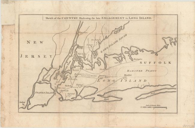
"Sketch of the Country Illustrating the Late Engagement in Long Island", Anon.

Subject: Colonial New York, Revolutionary War
Period: 1776 (published)
Publication: Gentleman's Magazine
Color: Black & White
Size:
12.4 x 7.8 inches
31.5 x 19.8 cm
Download High Resolution Image
(or just click on image to launch the Zoom viewer)
(or just click on image to launch the Zoom viewer)

