Subject: Boston, Massachusetts
Period: 1898 (dated)
Publication:
Color: Black & White
Size:
27.8 x 34.9 inches
70.6 x 88.6 cm
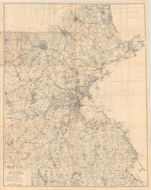
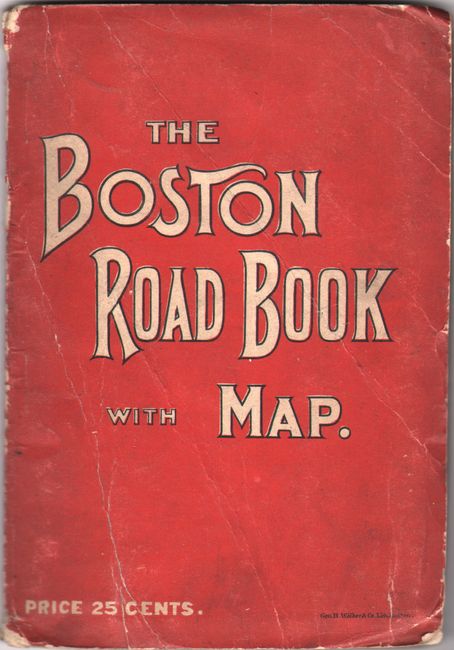
A highly detailed map of the Boston region extending from Milford and Plymouth north to the New Hampshire state line. Shows the street-grid pattern of towns and cities, roads, railroads, steamer routes, and more. A legend at bottom left defines the various types of roads including "best" and "other." Folds into red paper wrappers (4.5 x 6.5") with title "The Boston Road Book with Map." Includes advertisements for Howard Cycles on rear cover and for Columbia Telegraph and Telephone Co. on inside the front wrapper.
References:
Condition: B+
On a clean sheet, issued folding, with numerous short splits at the fold junctions. Paper wrappers are soiled and worn.