Subject: Atlases
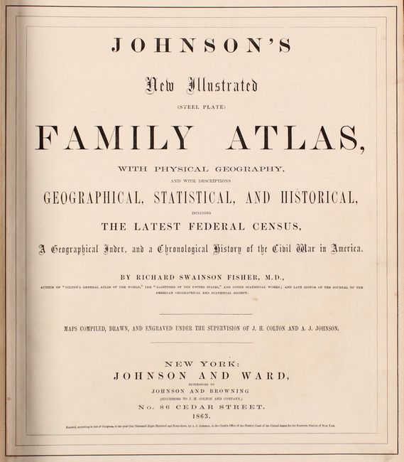
Period: 1863 (published)
Publication:
Color: Hand Color
Size:
14.9 x 18.5 inches
37.8 x 47 cm
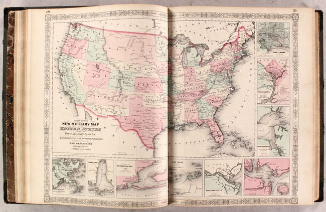
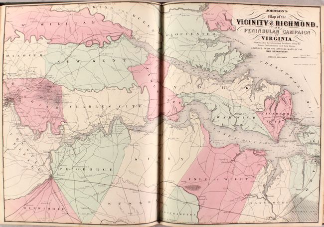
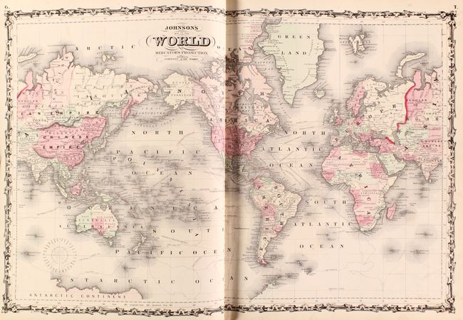
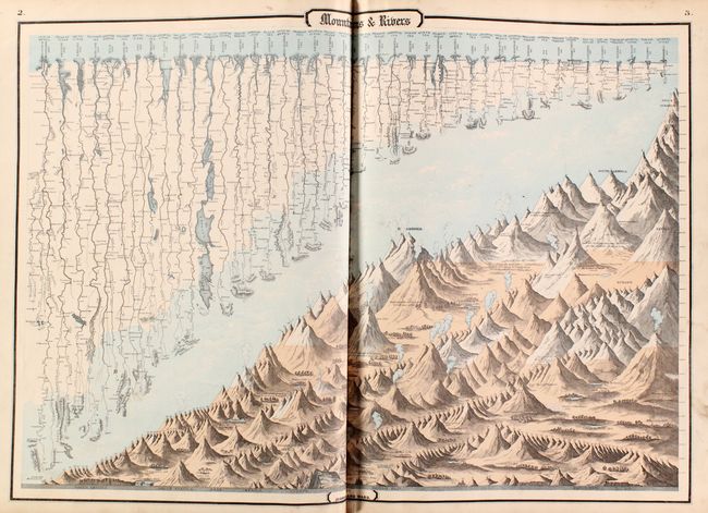
This complete atlas contains 66 beautifully rendered, steel engraved maps, including 34 double-page maps. There are several thematic maps and diagrams interspersed throughout the text that display the geology, weather, tides, agriculture, flags and animal kingdoms of the world. This 1863 edition is the last year with steel engraved plates, with many of the maps featuring vignettes, and some retaining the early strap-work style borders. It features the desirable edition of the New Military Map of the United States which shows all state and territory boundaries rather than the limits of military divisions, as well as the un-numbered double-page Civil War map Vicinity of Richmond.
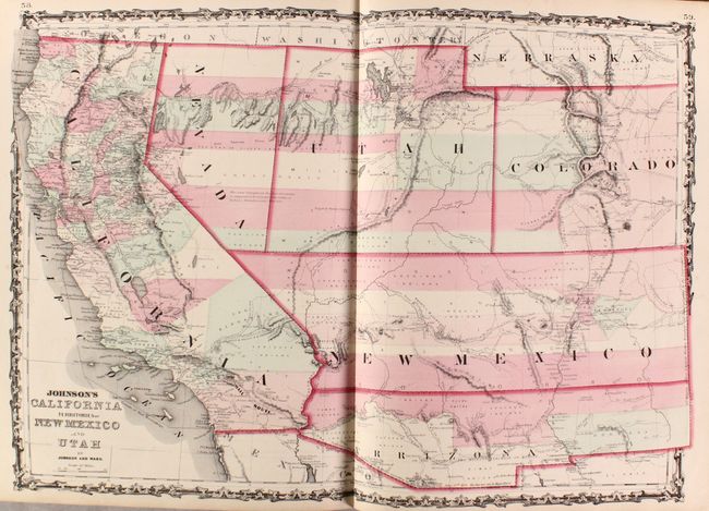
The map of the Southwest is one of the most desirable editions from this great series of maps. Arrizona shows up in the southern part of New Mexico Territory. This is thought to represent the Confederate Territory of Arizona that existed for nearly a year from August 1861 until July of 1862. The Confederate General Baylor appointed himself the territorial governor and claimed all of New Mexico Territory south of the 34th parallel. In the southern part of Arizona is the "Gadsden Ten Million Purchase of Mexico." The Utah/Nevada border is too far west on the 116th meridian. Details the Emigrant Road, the Hastings Road, and the routes of numerous explorers and military expeditions. The Gold Region in Colorado's South Park is prominently shown. The map is filled with historic and interesting notations. One note in the area of Quartzite, Arizona refers to the area as being "exceedingly fertile and abundantly timbered and well watered." Additional details include the U.S. Mail routes, the Emigrant road to California, the proposed railroad route through Utah, Nevada and California, and the Pony Express trail, the last time it appears on this series of map.
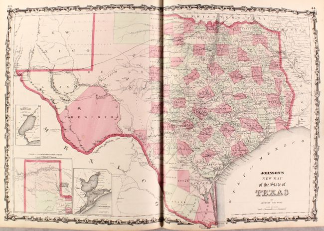
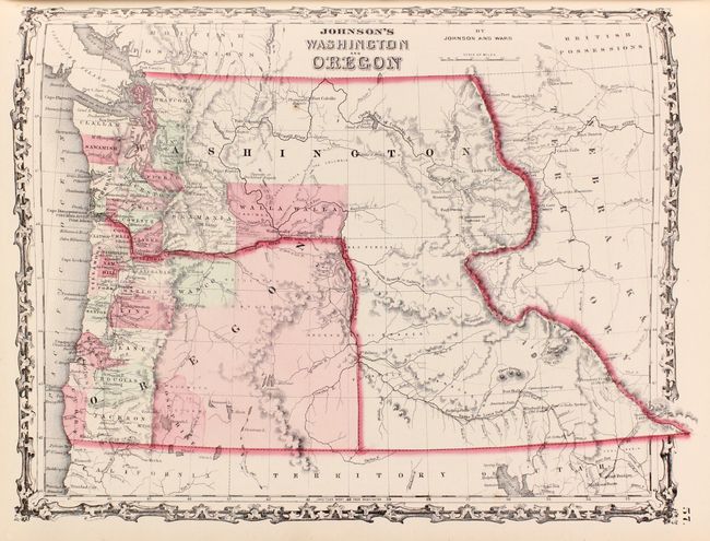
The double-page map of Texas shows county development mostly in eastern Texas and only the three large counties of El Paso, Presidio and Bexar in the west. The panhandle, noted as the Staked Plains (Elevated Table Land, without Wood or Water), includes a large section that is unorganized. There is nice depiction of the wagon roads, many named, with several completed railroads. The inset maps include a 'Plan of Sabine Lake,' 'Plan of the Northern part of Texas,' and 'Plan of Galveston Bay.' Also of interest, the map of the Northwest shows Washington Territory in its inverted "L" shape, and the map of Minnesota shows the newly created region of Dakota with an undefined western boundary.
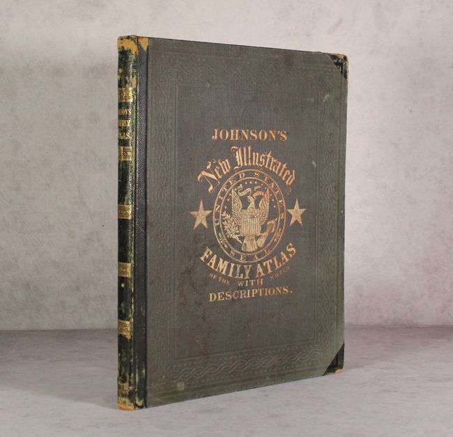
Folio. Original hardbound with quarter calf and tips over embossed green cloth covers, titling in gilt on front cover and spine, and marbled endpapers.
References:
Condition: A
Condition code is for the maps, which are almost entirely near fine to fine on bright sheets with occasional minor soiling or spot of foxing. The one exception is the map of Ohio that has a long centerfold separation extending through the lower two-thirds of the sheet (B). Covers and spine are moderately worn.