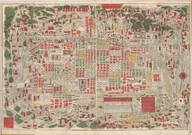
Subject: Kyoto, Japan
Period: 1890 (circa)
Publication:
Color: Hand Color
Size:
27.1 x 18.2 inches
68.8 x 46.2 cm
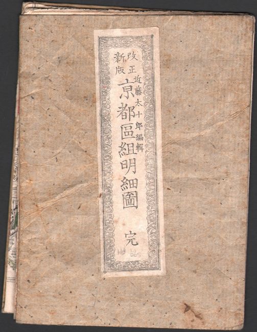
This is a very detailed and colorful woodblock map of Kyoto, the former imperial capital of Japan. This Japanese produced map is centered on a bird's-eye plan of the city surrounded by the Kamo River and the rolling hills of the countryside. The plan is highly detailed with individual blocks shown and important buildings and streets named, all in Japanese. The map is very finely printed with the color applied by block. Around the map the surrounding hills are drawn falling away as if viewed in each direction from the city center. The pocket map is folded and still attached to stiff covers.
References:
Condition: B+
A bright example with several short fold separations and small holes at fold intersections. The covers are lightly worn and soiled.