Catalog Archive
Auction 177, Lot 132

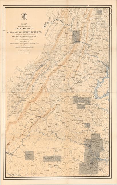
"Map of the Region Between Gettysburg, PA. and Appomattox Court House, VA.", U.S. War Department
Subject: Pennsylvania & Virginia, Civil War

Period: 1869 (published)

Publication:

Color: Printed Color

Size:
27.4 x 43.8 inches
69.6 x 111.3 cm
Download High Resolution Image
(or just click on image to launch the Zoom viewer)

This very large map is the index map for a set of fifteen entitled Military Maps Illustrating the Operations of the Armies of the Potomac & James. Superbly detailed throughout showing fortifications, roads, railroads, drainage, houses, and more. Includes Lynchburg, Appomattox, Petersburg, Richmond, Fredericksburg, Harper's Ferry and Gettysburg. The extent of the individual campaign maps are indicated through shading. Compiled and drawn by Major John Weyss, C. Thompson, and J. de la Camp.

References: Phillips (Atlases) #3688-1; Stephenson (CW) #518.

Condition: A

Crisp impression on sound paper. Backed with archival tissue to repair a small fold separation at top and short edge tear at lower left.

Estimate: $160 - $190

Sold for: $190

Closed on 4/29/2020

Archived