Catalog Archive
Auction 177, Lot 132
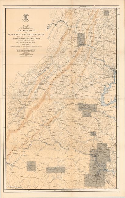
"Map of the Region Between Gettysburg, PA. and Appomattox Court House, VA.", U.S. War Department
Subject: Pennsylvania & Virginia, Civil War
Period: 1869 (published)
Publication:
Color: Printed Color
Size:
27.4 x 43.8 inches
69.6 x 111.3 cm
Download High Resolution Image
(or just click on image to launch the Zoom viewer)
(or just click on image to launch the Zoom viewer)