Subject: Atlases
Period: 1862 (dated)
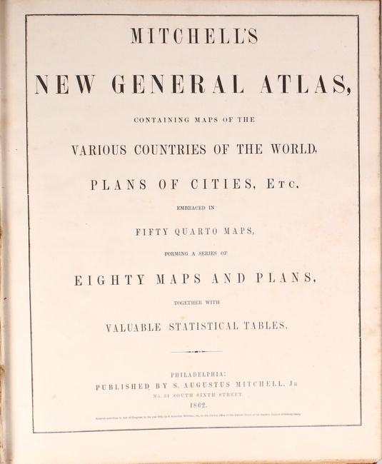
Publication:
Color: Hand Color
Size:
12.9 x 15.9 inches
32.8 x 40.4 cm
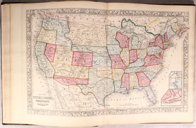
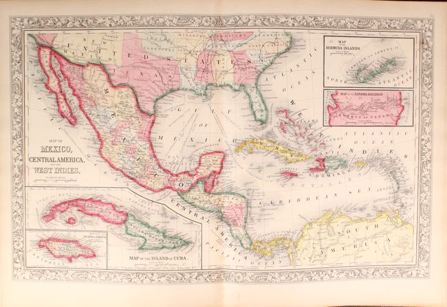
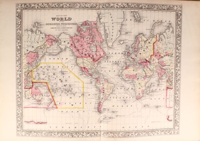
This complete example of Mitchell's world atlas was produced during the second year of the Civil War. It is complete with 42 single-page and 4 double-page maps each surrounded by Mitchell's signature floral border. There are 25 map sheets related to the United States including 34 individual states and territories, regions and city plans. There are two world maps - one hemispheric and the other drawn on Mercator's Projection.
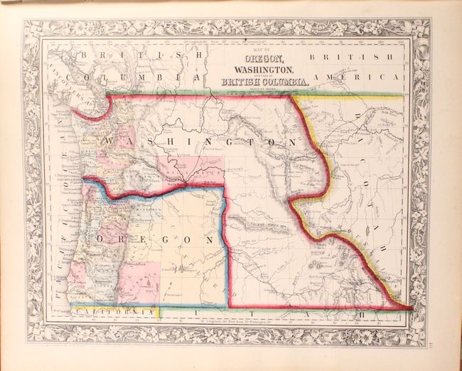
Of particular interest in this edition include the double-page United States which shows some of the most unique western territorial borders available. Utah is still oversized as the newly formed Nevada has its border at the 116° longitude, two full degrees from its present location. Colorado has just been formed and the map locates Denver City, Ft. St. Vrains and little else. New Mexico extends between Texas and California, but Arizona Territory occupies its southern half. This is the rare Confederate Territory of Arizona as established by the Confederate General Baylor. Oregon state has just been formed, leaving its eastern half to Washington Territory, which is now shaped as an upside down "L" and bordering with Utah in the south. Nebraska has a long panhandle that extends west to the border with Washington and Utah. The huge Dacotah Territory extends between the Continental Divide to the Red River at Minnesota, and is bounded at top and bottom by Canada and Nebraska Territory.
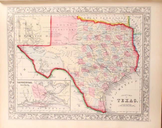
Also of interest is the map of Texas which shows county development to 100° longitude with the large regions of El Paso, Presidio Bexar, and Young Territory further west. The Staked Plain is now called Young Territory. Features full-page plans of the cities of Boston, New York, Philadelphia, Baltimore, Washington DC, New Orleans and Cincinnati. All maps carry the 1860 copyright date.
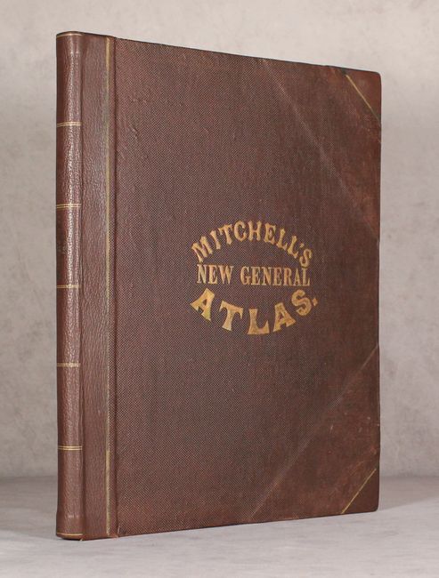
Hardbound small folio, rebacked in quarter calf with tips over original cloth covered boards, stamped title on front cover. Title page, list of maps, and maps and plans are followed by 26 pages of text: List of Post Offices in the United States, Table of Population, Governments. &C., Mountains of the World, and Rivers of the World.
References:
Condition: B+
The maps are very good to near fine with pleasant light toning and an occasional spot of foxing. The map of the northeastern U.S. and the Plan of Boston have minor archival repairs confined to the margins. Title page, table of contents, and index have light scattered foxing. Boards have light wear and new spine is pristine.