Subject: Oregon
Period: 1894 (published)
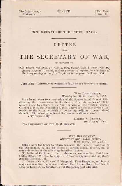
Publication: Sen. Ex. Doc. 113, 53rd Congress, 2nd Session
Color: Black & White
Size:
10.9 x 7.6 inches
27.7 x 19.3 cm
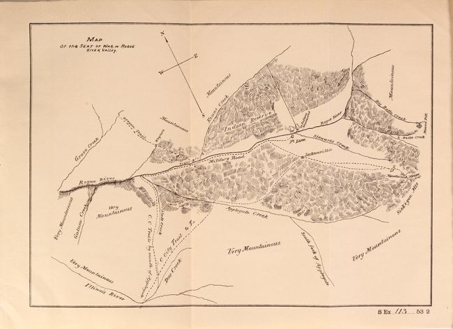
While published in 1894, this report refers to events that occurred during the Rogue River War of 1855-56. Included is a small map centered on a military road adjacent to the Rogue River and shows terrain, trails, creeks, and the location where “25 Indians massacred.” The map is referenced in the 5 pages of accompanying text, which consists of letters from the U.S. Army troops involved in the escalation of hostilities between the settlers and Indians. On page 4 of the text, Captain Smith "reports that a party of whites who had organized into a company with the avowed purpose of assisting the regular troops in pursuing and chastising the Shastas for recent murders attacked…two camps of friendly Indians in the immediate vicinity of the reserve and killed 25 (4 very old men, 4 young men, and 17 squaws and children. Exasperated by these brutal outrages, some of the Indians…heretofore friendly, proceeded to murder the whites indiscriminately, burning their houses, and destroying everything in their way.” The map is also referred to in the Annual Report of the Secretary of War for 1889, Vol. 2, Part 1, p. 387 where Lt. James E. Runcie reported as work accomplished “traced map of the seat of the Indian war in Rogue River Valley, Oregon, in 1855.” Bound into modern half faux leather over marbled boards. No previous sales records and also not found in OCLC.
References:
Condition: A
Folding map is near fine with a hint of pleasant light toning. Text is also near fine, which was loosely bound into modern boards.