Catalog Archive
Auction 174, Lot 131

"Etats Unis de l'Amerique", Bonne, Rigobert
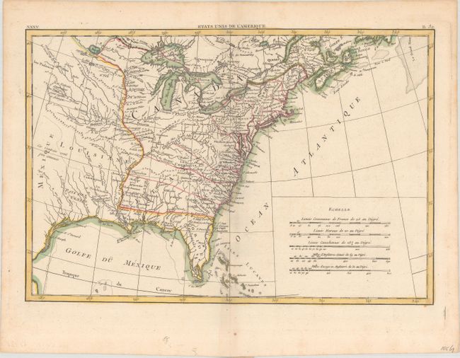
Subject: Eastern United States

Period: 1788 (circa)

Publication:

Color: Hand Color

Size:
17.1 x 11.6 inches
43.4 x 29.5 cm
Download High Resolution Image
(or just click on image to launch the Zoom viewer)

An early map of the United States with its western boundary on the Mississippi River. Georgia, South Carolina, and North Carolina extend to the Mississippi, while Virginia is left open-ended into a a large unnamed Northwest Territory that encompasses the region north of the Mississippi and Ohio rivers. Further to the west is Louisiana and Mexico with a French note stating not much is known about this region. There is good interior detail throughout including the location of numerous forts and Indian tribes.

References:

Condition: A

A strong impression on watermarked paper.

Estimate: $250 - $325

Sold for: $180

Closed on 9/11/2019

Archived