Catalog Archive
Auction 174, Lot 131
"Etats Unis de l'Amerique", Bonne, Rigobert
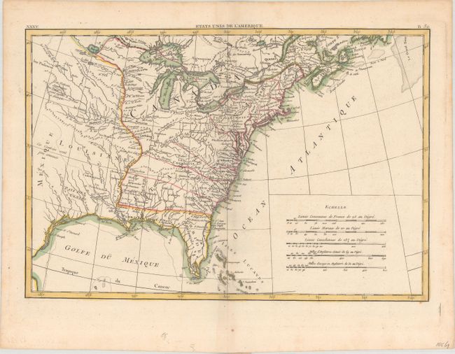
Subject: Eastern United States
Period: 1788 (circa)
Publication:
Color: Hand Color
Size:
17.1 x 11.6 inches
43.4 x 29.5 cm
Download High Resolution Image
(or just click on image to launch the Zoom viewer)
(or just click on image to launch the Zoom viewer)