Catalog Archive
Auction 169, Lot 289

NO RESERVE

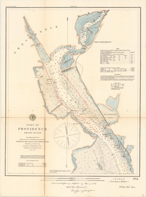
"Port of Providence Rhode Island from a Trigonometrical Survey Under the Direction of A.D. Bache Superintendent of the Survey of the Coast of the United States...", U.S. Coast & Geodetic Survey
Subject: Providence, Rhode Island

Period: 1899 (dated)

Publication: H.R. Doc. 108, 56th Congress, 1st Session

Color: Hand Color

Size:
15.4 x 19.2 inches
39.1 x 48.8 cm
Download High Resolution Image
(or just click on image to launch the Zoom viewer)

This detailed chart extends from Starvegoat Island north to Providence and East Providence. Numerous soundings, shoals, oyster beds, and docks are depicted in good detail along with a "harbor line" drawn in red overprinting. Includes notations at right concerning tides, soundings, and more. First published in 1865 with triangulations by E. Blunt.

References:

Condition: B+

Issued folding and now flattened and backed with tissue to repair a few fold separations primarily at lower left. There is light toning along one fold.

Estimate: $60 - $80

Sold for: $6

Closed on 9/12/2018

Archived