Subject: Northern Virginia
Period: 1838 (published)
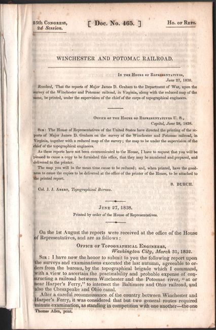
Publication: H.R. Doc. 465, 25th Congress, 2nd Session
Color: Black & White
Size:
27 x 20.9 inches
68.6 x 53.1 cm
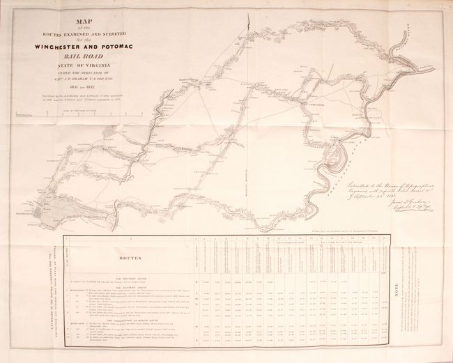
This is one of the earliest printed government surveys and was drawn from the original plot by Lt. Andrew Atkinson Humphreys. It was based on surveys by Lts. A.D. Mackay and E. French in 1831 and Lts. French and J.F. Izard in 1832. The topographic map illustrates an area between the Shenandoah and Potomac Rivers to Winchester. It locates Harper's Ferry, Charleston, Smithfield Village, Winchester, and scores of individual farms with the owner's name. It shows mills, distilleries, blacksmith shops, etc. along the proposed routes. Across the bottom is an extensive table giving a summary of the routes surveyed.
The Commonwealth of Virginia was embroiled in controversy over the development of a railway network in this region. The existing transportation system was inefficient for the farmers and iron furnaces in the Shenandoah Valley, as it concentrated economic trade benefits within Virginia at the exclusion of neighboring Maryland and Pennsylvania. This rail line was designed to divert Shenandoah Valley wheat from Alexandria and stimulate growth in Baltimore. Completion of the line in 1836 greatly contributed to the decline of Alexandria.
References: Claussen & Friis #271; Modelski (Railroads) #4; Phillips (Maps) p. 1073.
Condition: A
The map is clean and bright with just a few spots of foxing at top. Disbound text is near fine.