Subject: Exploration & Surveys, Arctic
Period: 1828 (published)
Publication:
Color: Black & White
Size:
8.6 x 10.8 inches
21.8 x 27.4 cm
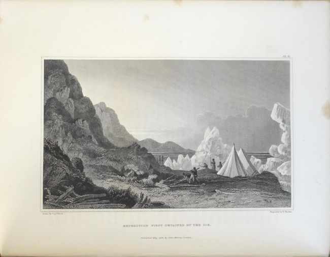
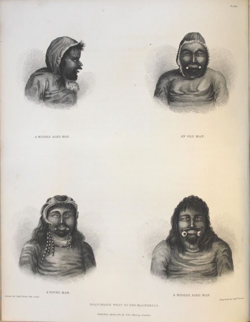
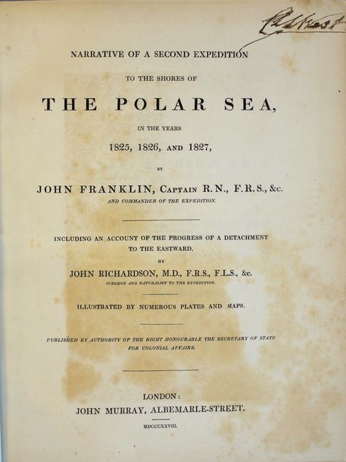
This is the first-hand account of Franklin's second expedition into the Canadian Artic (third polar exploration). In 1825, Franklin and his crew departed Great Bear Lake and traveled 1000 miles down the Mackenzie River. On August 16, Franklin reached the mouth of the Mackenzie, being only the second European to reach this point. After wintering at Fort Franklin back at Great Bear Lake, Franklin again made the trek to the mouth of the Mackenzie, only to find the sea still frozen. He then ventured west with plans to meet Frederick William Beechey at Point Barrow (present-day Alaska), who had sailed northeast from the Bering Strait. Franklin reached Return Reef by August, 150 miles shy of his meeting point, and decided to return to Fort Franklin before winter arrived. This detailed account includes 31 plates and the following six folding maps (one hand-colored) based upon his travels:
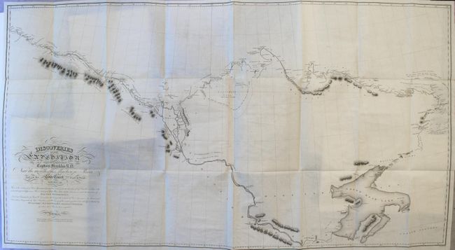
Discoveries of the Expedition...near the Mouth of the Mackenzie River... (50.0 x 27.2"). This large chart shows great detail of Great Bear Lake, the Mackenzie River, and the coastline to the west of the Mackenzie. The coast to the east of the Mackenzie, which had still not been fully explored, remains only partially delineated. There are numerous notations throughout, including the location of Indian tribes. The map extends east to the mouth of the Coppermine River, with a notation of Samuel Hearne's Bloody Falls, where his Indian guides massacred a group of Eskimo. Printed on two sheets, joined.
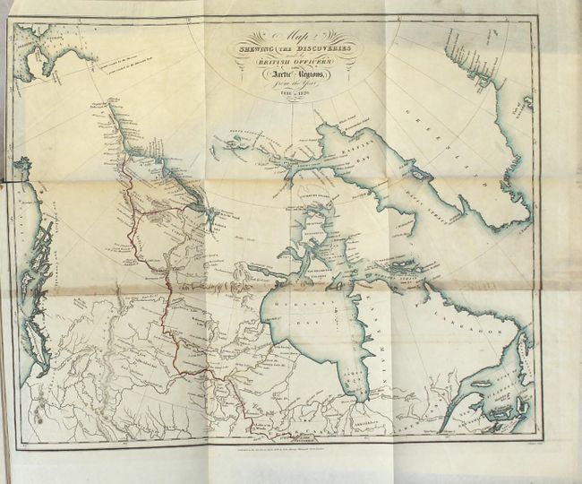
Map Shewing the Discoveries Made by British Officers in the Arctic Regions..., hand color (18.2 x 14.5")
Route of the Expedition A.D. 1825, from Fort William to the Saskatchawan River... (17.0 x 14.0")
Route of the Expedition from York Factory to Cumberland House... (22.0 x 9.7")
Route of the Expedition from Isle a la Crosse to Fort Providence... (20.2 x 9.2")
Route of the Land Artic Expedition...from Great Slave Lake to Great Bear Lake River... (23.0 x 19.0")
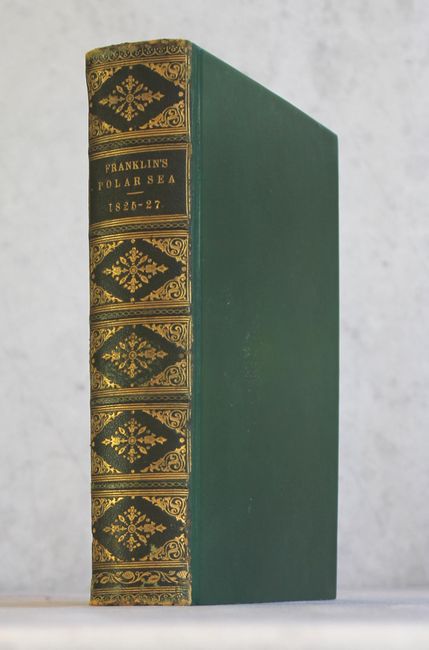
320 pages of text with 58 page appendix and 157 pages of meteorological tables. Rebound in green leatherette with original backstrip adhered to spine.
References: Sabin #25628.
Condition: A
The maps are near fine with occasional light offsetting and a few short binding tears at left. Plates are mostly clean and bright with occasional foxing, and the text is pleasantly toned. New binding has only light wear with the original backstrip pasted on the spine.