Subject: Exploration & Surveys, North America
Period: 1807 (published)
Publication:
Color: Black & White
Size:
5.7 x 9.2 inches
14.5 x 23.4 cm
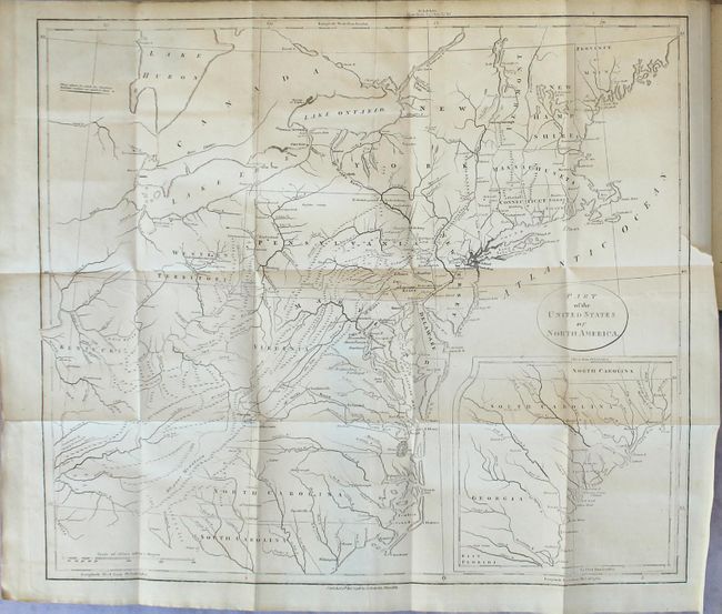
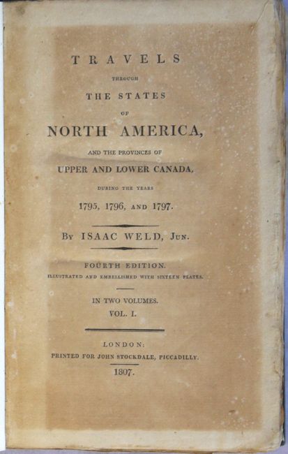
Weld, an Irish-born topographer, arrived to Philadelphia in 1795, and his subsequent travels took him through the mid-Atlantic states where he met George Washington and Thomas Jefferson. He then continued to Montreal and Quebec and, following the St. Lawrence River, journeyed to the lakes of Kingston, Niagara and Detroit. His description of the country and its settlements are often unflattering, but provide a fascinating early view of the emerging nation. This is the fourth English edition of Weld's work, printed for John Stockdale. This two-volume edition includes eleven plates and the following five folding maps/plans:
A. Part of the United States of North America (18.3 x 16.2"). This map of the young United States is filled with great information on early development including roads and settlements. The map covers from the Province of Main through North Carolina with a large inset of South Carolina and Georgia. West of the states are the Western Territory and Kentucky. The villages of "Christian Indians" are located by numerous large icons. Condition: Minor toning and offsetting with a tiny binding tear at right. (B+)
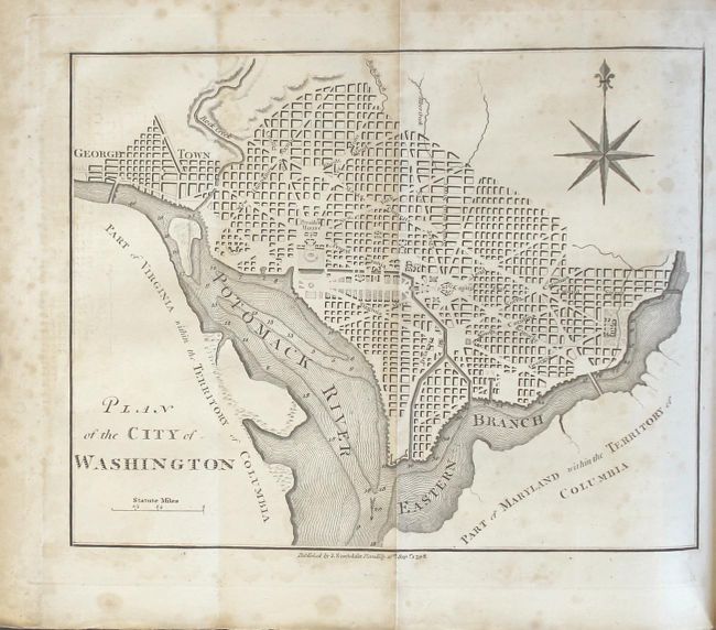
B. Plan of the City of Washington (8.5 x 6.6"). Condition: Light scattered foxing that is more prominent in the blank margins. (B+)
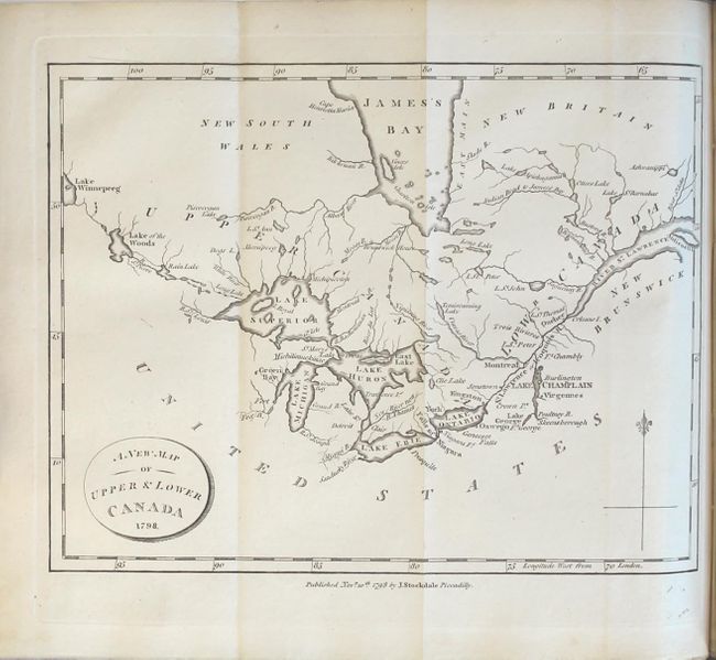
C. A New Map of Upper & Lower Canada (9 x 6.8"). Condition: Light toning along the edges of the sheet. (A)
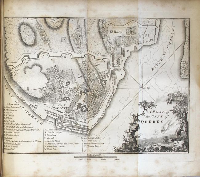
D. A Plan of the City of Quebec (9.4 x 6.8"). Condition: Moderate foxing. (B)
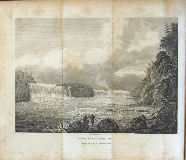
E. An Eye Sketch of the Falls of Niagara (8.9 x 6.5"). Condition: Minor offsetting with a damp stain at top left, mostly confined to the blank margin. (B+)
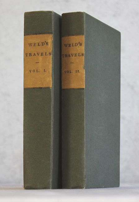
Plates include an American Stage Wagon, a Canadian Calash, and views of Mount Vernon, Hudson River, Niagara Falls, Cohoes Falls, Cape Diamond, and Natural Bridge, Virginia. Complete. Octavo, 427 pp., 376 pp. Rebound in brown paper-covered boards with printed title labels on spines.
References: Howes #W235; McCorkle #798.5; Sabin #102541.
Condition: B+
See below for a description of the maps. The text and plates generally have light, scattered foxing, although a few plates have more moderate foxing and the title pages of both volumes have moderate to heavy toning. The modern covers show very light wear.