Subject: Atlases
Period: 1863 (circa)
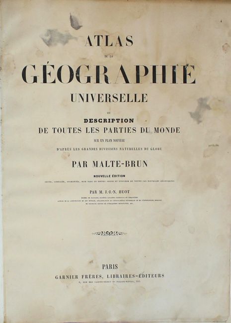
Publication:
Color: Hand Color
Size:
12.6 x 16.6 inches
32 x 42.2 cm
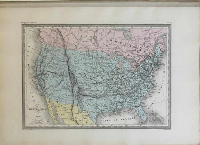
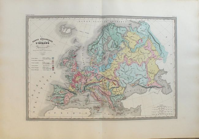
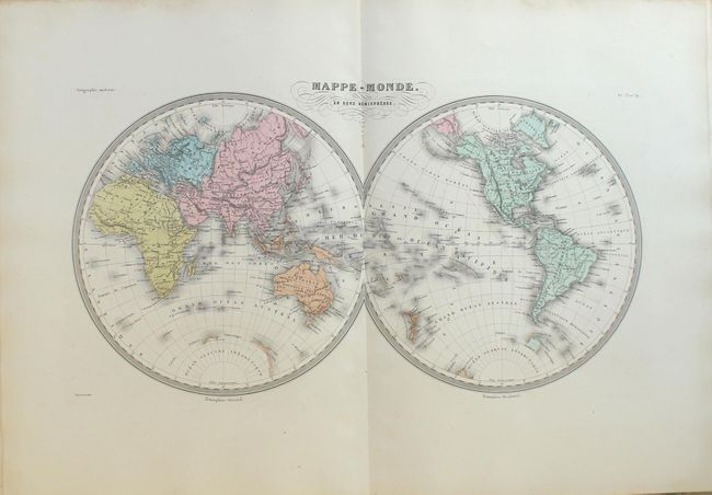
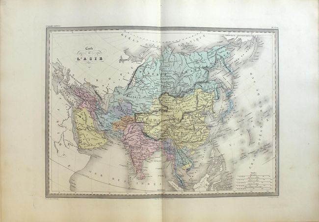
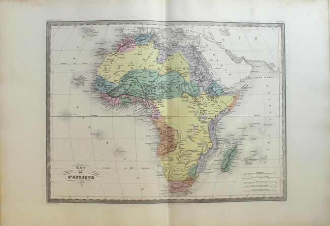
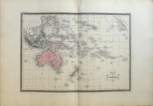
This complete atlas contains 14 double-page and 57 single-page maps. The maps, both modern and ancient, are primarily focused on European regions, but includes maps of each of the continents, the United States, and some regional maps of South America. The single-page map of the United States shows Arizona appearing in the southern portion of New Mexico Territory suggesting the Confederate Territory of Arizona, and Montana occupies the northwest corner of Wyoming where Yellowstone Park would later be created. Outside of the United States, the atlas contains several attractive geological maps in vivid color including Europe, France, and the United Kingdom, and 20 ancient maps. Folio, quarter calf over marbled boards.
References:
Condition: B+
The maps are generally very good to near fine with crisp impressions and attractive original color. There is occasional faint scattered foxing mostly in the blank margins, and the first 5 plates (ancient maps) have scattered staining and soiling. The contents are tight and the title page has been trimmed at right. The front cover is heavily chipped and the hinges are starting at top.