Catalog Archive
Auction 165, Lot 627

"Plan de Constantinople ", Bureau d'Industrie

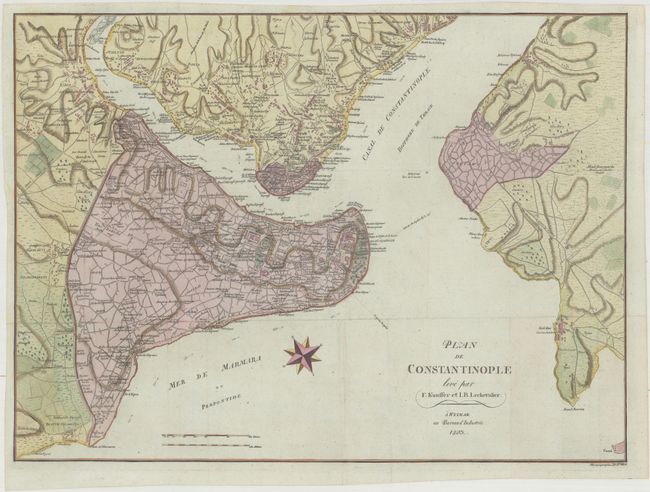
Subject: Istanbul, Turkey

Period: 1803 (dated)

Publication:

Color: Hand Color

Size:
24.1 x 17.8 inches
61.2 x 45.2 cm
Download High Resolution Image
(or just click on image to launch the Zoom viewer)

This plan of Constantinople extends to show the Golden Horn, the Bosphorus, and Scutari (Uskudar). Highly detailed, it shows the street patterns, individual buildings, and identifies important sites. The surrounding countryside, along with the roads, villages, and topography are also depicted. The map is attributed to Franz Kauffer, a German who surveyed the city for the Sultan Abdulhamid I about 20 years earlier, and was published by the Bureau d'Industrie in Weimar.

References:

Condition: A

Issued folding on bluish paper with a few faint spots.

Estimate: $600 - $750

Sold for: $450

Closed on 11/15/2017

Archived