Catalog Archive
Auction 165, Lot 382

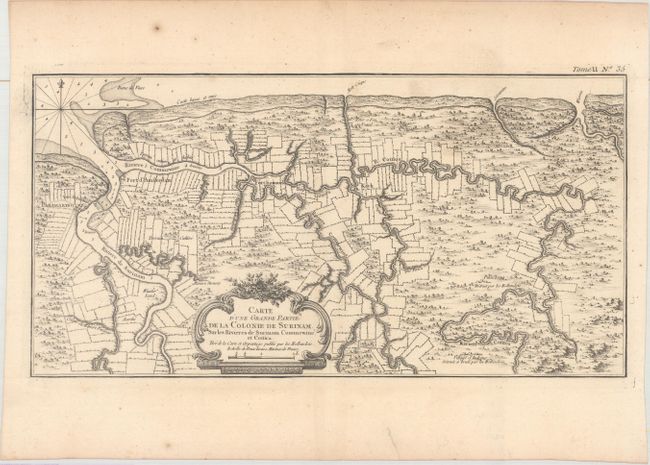
"Carte d'une Grande Partie de la Colonie de Surinam sur les Rivieres de Surinam Commewine et Cottica...", Bellin, Jacques Nicolas

Subject: Suriname

Period: 1764 (circa)

Publication: Le Petit Atlas Maritime

Color: Black & White

Size:
16.6 x 8.5 inches
42.2 x 21.6 cm
Download High Resolution Image
(or just click on image to launch the Zoom viewer)

Uncommon map of the Dutch colony of Suriname with excellent detail of the Suriname and Commewijne river systems, noting the boundaries of all the plantations laid along their paths. The capitol of Paramaribo is noted, in addition to the forts Amsterdam, Zelandia and Sommel. Soundings are noted at the river's mouth and tent encampments of natives are noted. The map is decorated with a delicately engraved floral cartouche and a simple fleur-de-lys compass.

References:

Condition: B+

A nice impression on watermarked paper with very light soiling.

Estimate: $140 - $170

Unsold

Closed on 11/15/2017

Archived