Catalog Archive
Auction 165, Lot 350

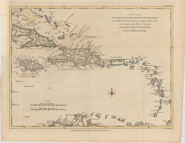
"A Map of the English, French, Spanish, Dutch & Danish Islands, in the West Indies, Taken from an Improved Map of the Geographer to the King of France; with the Tract of the Last West India Fleet Through the Windward Passage", Bew, John

Subject: Caribbean

Period: 1781 (dated)

Publication: Political Magazine

Color: Hand Color

Size:
14.2 x 10.6 inches
36.1 x 26.9 cm
Download High Resolution Image
(or just click on image to launch the Zoom viewer)

This map shows the English, French, Spanish, Dutch and Danish colonial possessions in the Caribbean during the American Revolutionary War. The track of the "last fleet" to travel to the Caribbean through the Windward Passage is shown with a dashed line. The map extends from the southern Bahamas and the eastern half of Cuba to the northern tip of South America. Engraved by John Lodge and published by John Bew on June 30, 1781.

References: Jolly #POL-28.

Condition: B+

Issued folding, now flattened, with a Vryheyt watermark, light offsetting, and a couple of minor misfolds. There is a binding trim at left that has been replaced with old paper.

Estimate: $190 - $220

Unsold

Closed on 11/15/2017

Archived