Catalog Archive
Auction 165, Lot 345

NO RESERVE

"Carte des Antilles du Golfe du Mexique et d'une Partie des Etats Voisins", Lapie/Tardieu
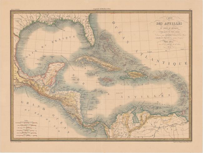
Subject: Gulf of Mexico & Caribbean

Period: 1851 (dated)

Publication: Atlas Universel de Geographie

Color: Hand Color

Size:
21.8 x 15.8 inches
55.4 x 40.1 cm
Download High Resolution Image
(or just click on image to launch the Zoom viewer)

This crisply engraved map of the Caribbean and the Gulf Coast shows excellent detail of Florida, the Caribbean, Yucatan Peninsula and Central America. Inland detail is focused primarily on topography and river systems, while the coasts are filled with place names. The map is surrounded by a keyboard-style border.

References:

Condition: B+

A sharp impression with faint offsetting, a few tiny spots of foxing, and minor toning.

Estimate: $70 - $90

Sold for: $48

Closed on 11/15/2017

Archived