Subject: Tennessee
Period: 1896 (dated)
Publication:
Color: Printed Color
Size:
41.4 x 27 inches
105.2 x 68.6 cm
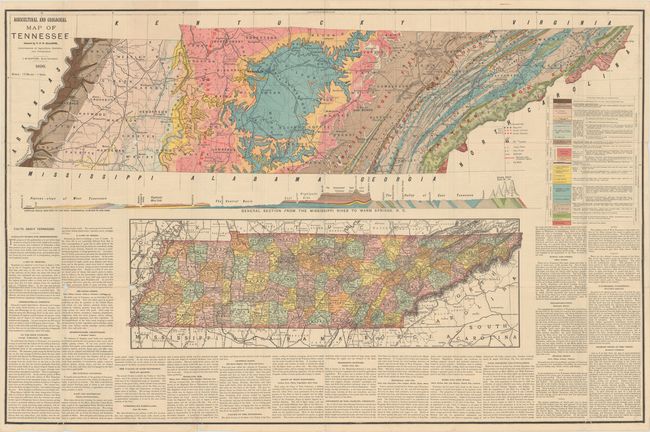
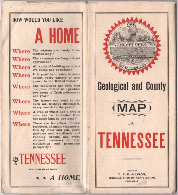
This large sheet contains a geological and topographical map of the state, and was issued by T. F. P. Allison, Commissioner of Agriculture. The geological map was compiled by the State Geologist, J. M. Stafford, and presents 13 different geological types highlighted by color and shading, and also identifies iron ore belts, copper mines, zinc works, and oil wells. The topographical map below it was copyrighted by Rand McNally & Co. The two maps are surrounded with text supporting the many advantages and benefits offered by the state for both businesses and residents. Self-folding (9.5 x 4.5").
References:
Condition: B
A colorful example on a clean sheet with a number of splits at fold intersections resulting in a few small spots of image loss.