Subject: Charleston, South Carolina
Period: 1875 (circa)
Publication:
Color: Black & White
Size:
13.9 x 20.3 inches
35.3 x 51.6 cm
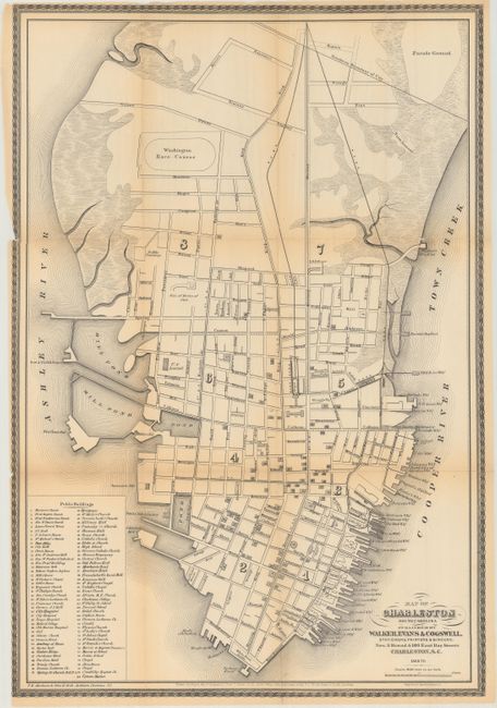
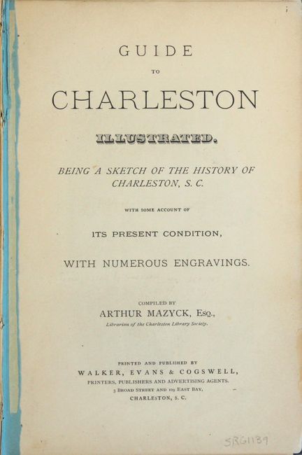
An excellent reconstruction-era guide to Charleston containing many illustrations of prominent buildings, businesses, landmarks, and more. The frontispiece map shows the city street layout, railroads, over 30 named wharfs, 83 numbered and named public buildings, and such features as the Washington Race Course, U. S. Arsenal, and Site of Forte of 1812. The map is dated 1869-70 and is a splendid view of the city prior to the devastating earthquake of 1886, which remains the strongest earthquake to ever hit the Southeastern United States (measuring 7.3). First edition, 215 pages, including illustrations (many full page including a bird's eye view of Charleston) and folding map. 12mo., hardbound in blue cloth with gilt title and illustrations on front cover. Compiled by Arthur Mazyck and published by Walker, Evans & Cogswell.
References:
Condition: B
The map is lightly toned with slightly more prominent toning along the folds. Several small fold separations and tiny cuts have been repaired on verso with archival tape, and there is one tiny area of loss near the right border of the map (above Deignan's Shipyard). The guidebook covers are detached and the signatures are loose. Contents are lightly toned. Average wear to extremities with small chips to the head and tail of the spine.