Subject: Northern Michigan
Period: 1905 (dated)
Publication:
Color: Hand Color
Size:
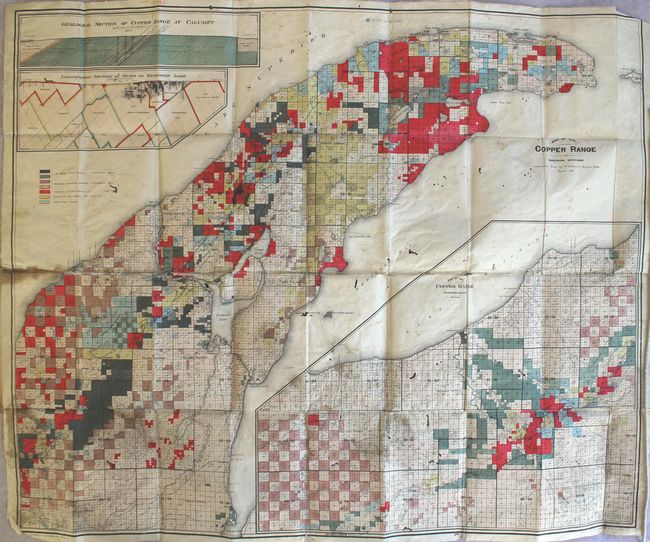
37.4 x 30.7 inches
95 x 78 cm
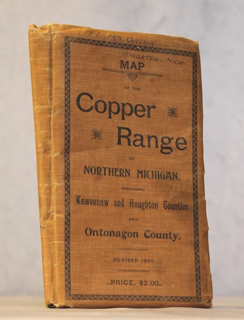
This pocket map of the Keweenaw Peninsula is color-coded to show the commercial interests in the region including lands owned by St. Mary's Canal Company, Keweenaw Association Limited, Calumet and Herda Mining Co., Tamarack and Osceola and Allied Co., and the Copper Range Company. This copper rich area was subject to a mining boom in the 1840s, and by the time of the publication of this map the region was a top producer of the country's copper. Includes a large inset of Ontonagon County on the same scale along with two geological sections at Calumet and Kearsarge Lode at top. Drawn and compiled by R.M. Edwards out of Houghton, Michigan. Backed with linen and folds into tan cloth wrappers (5.0 x 8.5").
References:
Condition: B
Issued folding with numerous stains, scattered foxing and light soiling. There are several separations along the center horizontal fold, and numerous wormholes and worm tracks throughout. Wrapper has some staining and a previous owner's signature at top.