Subject: Washington, D.C., Civil War
Period: 1861-63 (circa)
Publication:
Color: Hand Color
Size:
7.5 x 9.1 inches
19.1 x 23.1 cm
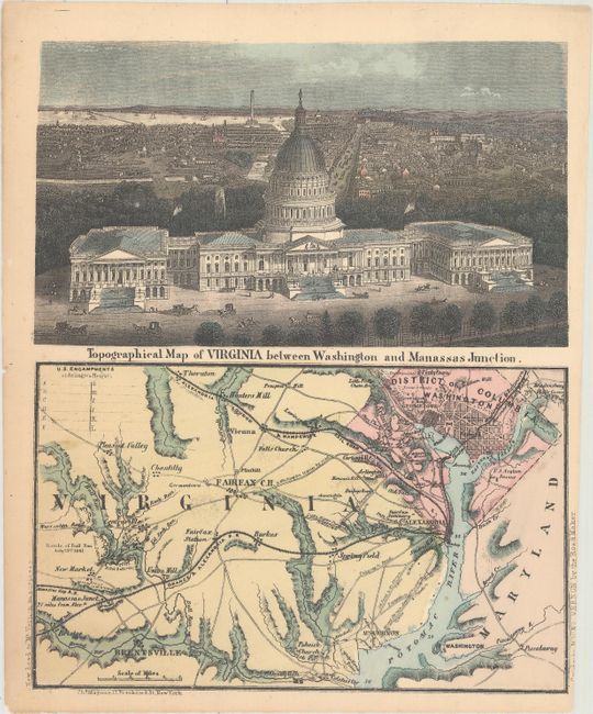
This uncommon letter sheet map was published by Charles Magnus. The top panel is a detailed bird's-eye view of the Capital Building with the city in the background. A preliminary plan of the Washington monument can be seen in the far background. This view shows the building completed with the statue of freedom on top which did not occur until 1863. The bottom panel is a detailed map of northern Virginia and Washington. It shows roads, railroads, towns and cities naming Fairfax, Mt. Vernon, Fort Washington, Hunter's Mill, Prospect Hill and Washington D.C. at upper left. At the left of the map is Battle of Bull Run with "Rebel" positions noted. Charles Magnus produced several maps and views during the Civil War and this small work has drawn on his prior work.
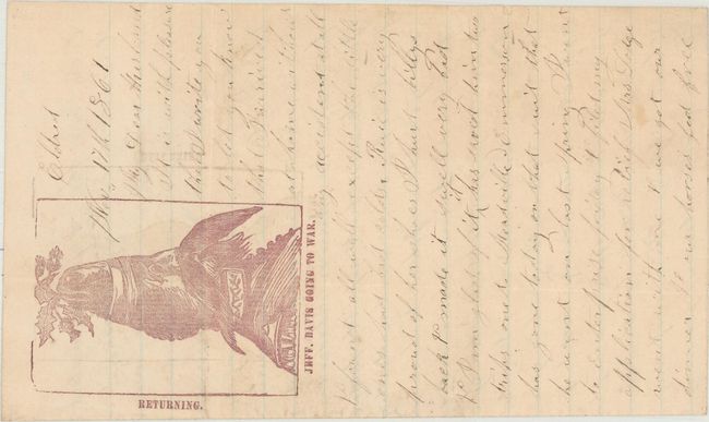
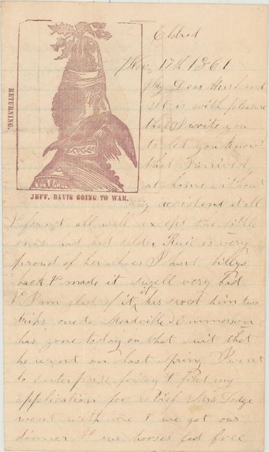
Also included with this lot is an original Civil War letter with used envelope from Jane White to her husband Eldred David White in Camp Reed, a training camp in Springfield, Massachusetts. The letter is written on paper with a satirical illustration, "Jeff. Davis going to war" viewed from a portrait perspective " and "returning" viewed from a landscape perspective which transfers Jeff Davis into a donkey. The ink on the letter has faded but a typed transcription is provided with the lot.
References:
Condition: A
Condition code is for the map, which is near fine with a slightly trimmed right margin. The letter is very good with minor toning, while the envelope is soiled and torn at right.