Subject: Western United States
Period: 1877 (published)
Publication:
Color: Black & White
Size:
45.6 x 21.4 inches
115.8 x 54.4 cm
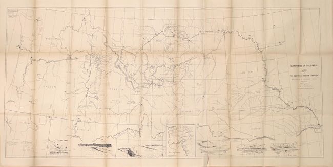
A detailed map of the historic and skillful retreat of the Nez Perce Indians in the winter of 1877. It identifies forts, battle sites, trails, direction of troop movements, etc. In the face of relentless pursuit of the troops under Gen. Howard, Chief Joseph and his small band (less than 500 people counting women and children) fought one of the most extraordinary Indian Wars in American history. The map, which includes many notes and vignette views, records their retreat through the Bitterroot Mts., twice across the Rocky Mountains, through Yellowstone National Park, across the Missouri River to the Bear Paw Mountains. They surrendered on Eagle Creek, only 30 miles from their destination. An extraordinary map that covers Washington, Oregon, Idaho, Montana, Wyoming, Dakota, and Nebraska. Seven vignettes along the bottom show various fights and battles plus an inset map titled "Scene of the Outbreak." A large and historical map of one of the most tragic Indian campaigns.
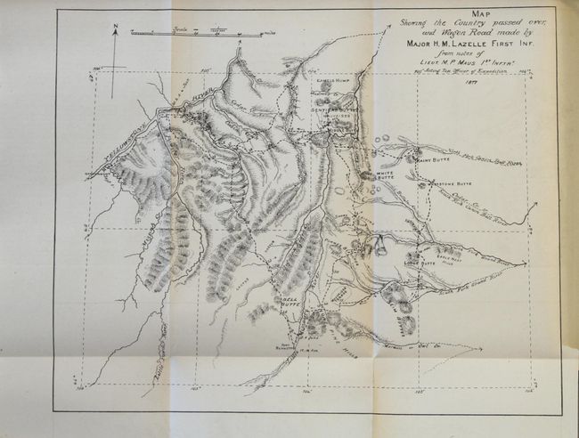
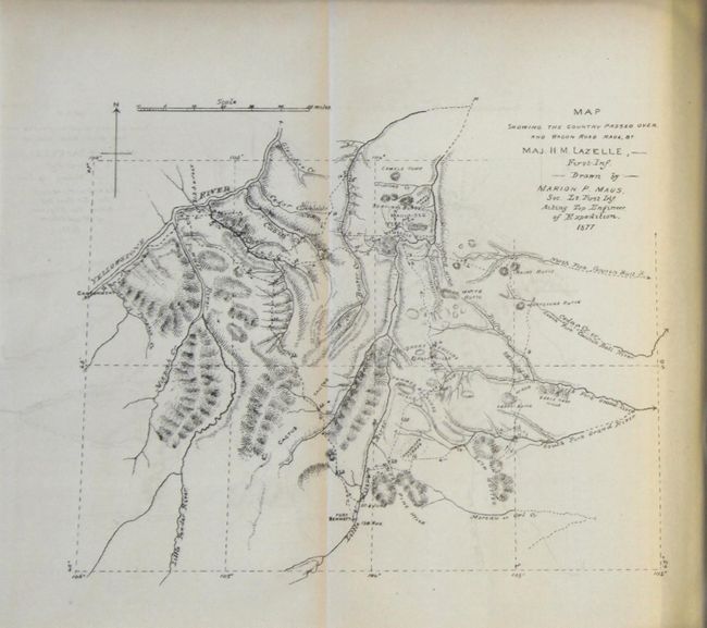
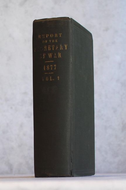
The map is accompanied by the full annual report by the Secretary of War which contains Gen. Howard's and Brigadier-General Terry's report on their Nez Perce campaign. The annual report also contains the reports of Generals Sheridan, Pope, Ord, Crook, Hancock, Augur, Ruger, McDowell, Kautz, Schofield and the Judge-Advocate-General. Terry's report contains two smaller folding examples of Howard's Nez Perce map: "Map Showing the Country Passed Over and Wagon Road made by Maj. H.M. Lazelle, First Inf." and a second copy of the same map printed in a larger format later in the report. This fine lot related to the Nez Perce campaign contains three folding maps, numerous folding plates, and 660 pages of text. Hardbound in black cloth with gilt title on spine.
References:
Condition: B+
The large folding map is in very good condition with light toning, a few small fold separations, and an edge tear at bottom that just passes the border. Other maps, plates and text are also very good with pleasant light toning. Covers have light wear with bumped edges. Front hinge is starting.