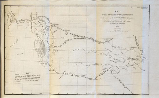
Subject: Western United States
Period: 1845 (published)
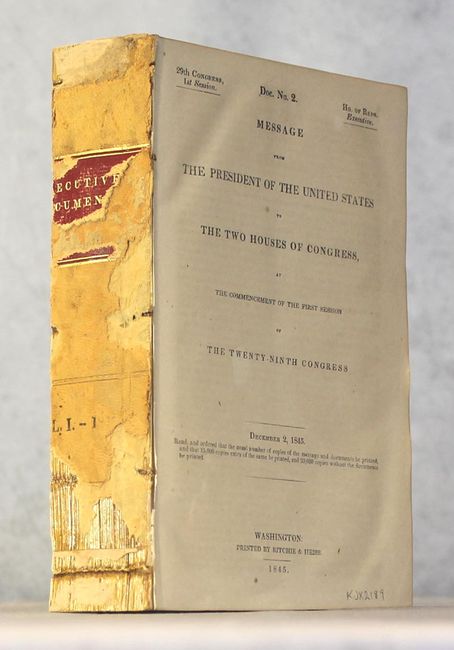
Publication: H.R. Doc. 2, 29th Cong., 1st Sess.
Color: Black & White
Size:
13 x 8 inches
33 x 20.3 cm
This is an early and historical map of the region included in the uncommon H.R. Document #2. Part of this map is based on Fremont's map of 1843. It covers the region between the Arkansas and Platte Rivers, and extends westward to South Pass and the Green River. The dragoons departed Ft. Leavenworth and marched to South Pass via the Oregon Trail and returned 99 days later via the Arkansas River route, a distance of 2,200 miles over the tough western terrain. Engraved by the firm of Smith & McClelland.
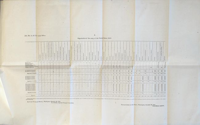
The map is still bound into the 893 page report which includes 7 folding tables. The text includes interesting information involving the annexation of Texas (including various proclamations by Anson Jones), the Oregon boundary question, and Colonel Kearny's report and map of his expedition to the Rocky Mountains. Disbound.
References: Wheat (TMW) #495; cf. Wagner-Camp #117.
Condition: B+
The folding map is very good with faint offsetting. Disbound text is also very good with occasional foxing and light toning.