Subject: United States
Period: 1929-30 (circa)
Publication:
Color: Printed Color
Size:
25.6 x 35.2 inches
65 x 89.4 cm
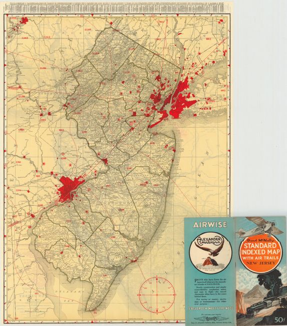
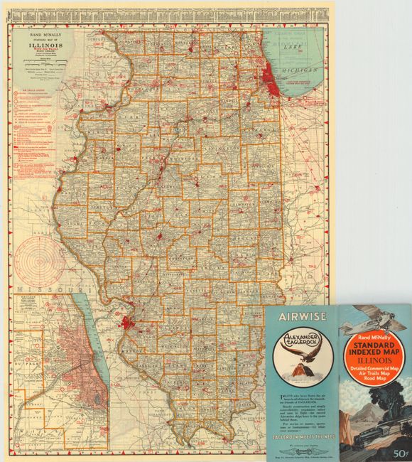
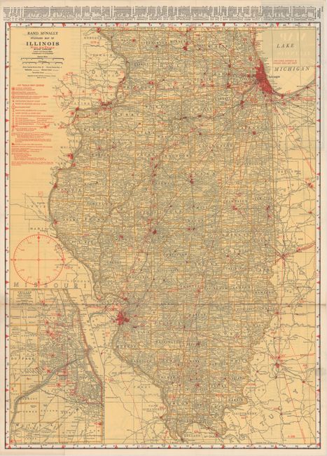
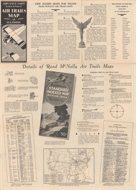
This is a very rare, nearly complete set of state "Air Trails" pocket maps, with only the Florida map missing (Maryland and Delaware maps are combined). This set is enhanced with the addition of a scarce Advance Copy Air Trails Map of Illinois with text that describes in detail the purpose and construction of the Air Trails maps. According to the verso of the advance map, it was the "results of two years research and experimenting. The knowledge and skill of fifty years of map-making, the facts gathered from thousands of letters and questionnaires, and the advise of scores of licensed pilots and aviation authorities have gone into them."
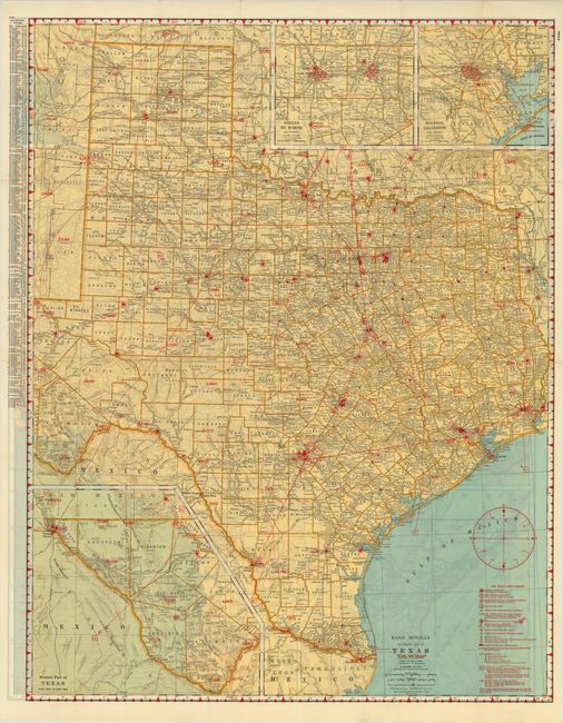
Each of the 46 Air Trail maps is complete with the original booklet that is filled with information for the aviator, a list of cities and towns, advertisements and more. Some aviation related sections include an Airport Directory, Aids to Navigation, and the Practical Air Navigation which reads much like a modern Private Pilot's lesson book with information on Plotting the Course, How To Find the Compass Course, Corrections for Wind, the Magnetic Compass and a Time and Distance Chart. Each also contains a double page Airway map of the United States that includes the routes of nearly forty airlines, air mail routes and more. The handsome Art Deco-style cover features a Ford Tri-Motor with a steam locomotive below.
The dimensions given are approximate and vary. Each map has a standard Rand McNally map on one side and the Air Trails map on the verso. The map uses red overprinting to note the elevation of high ground and mountains. The legend locates Public Airports, Restricted Airports (Army, Navy, Clubs, Private, etc.), Sea Plane Ports, Revolving Beacon Lights, and aids to navigation such as RS, RD, and RM radio stations. In many cases the maps document many early fields that no longer exist. These maps were produced for only a short time, and would be a desirable addition for any aviation enthusiast.
References:
Condition: A
The maps are mostly fine with some very good, a number of which appear to have never been used before. Some of the maps are no longer attached to the back cover.