Subject: Exploration & Surveys, India, Sri Lanka & East Indies
Period: 1750 (published)
Publication:
Color: Black & White
Size:
8.6 x 10.9 inches
21.8 x 27.7 cm
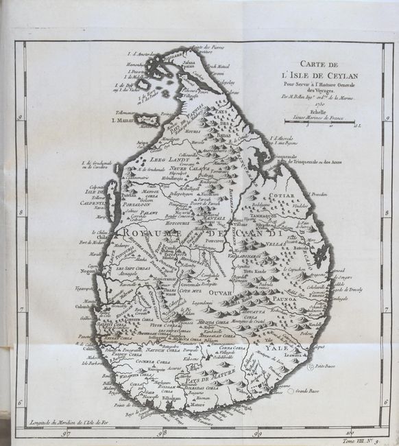
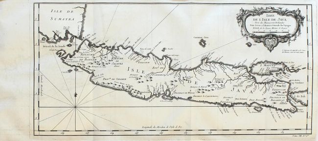
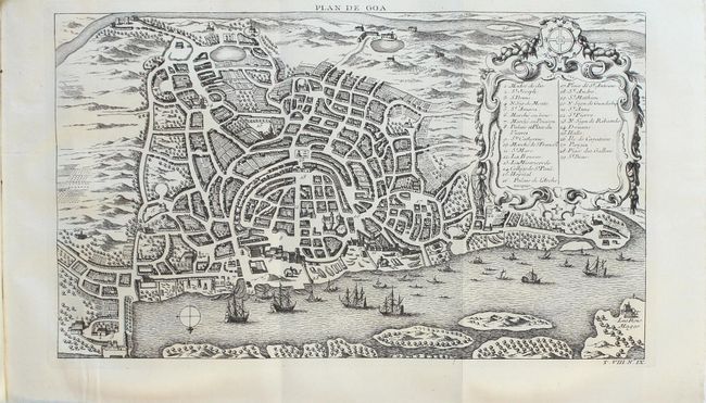
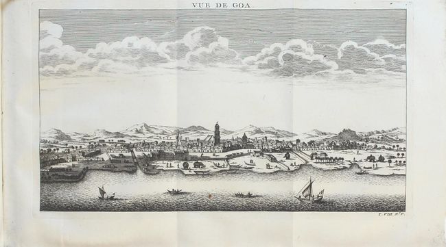
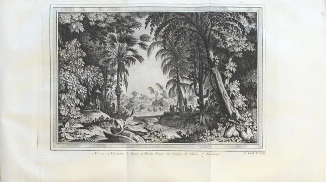
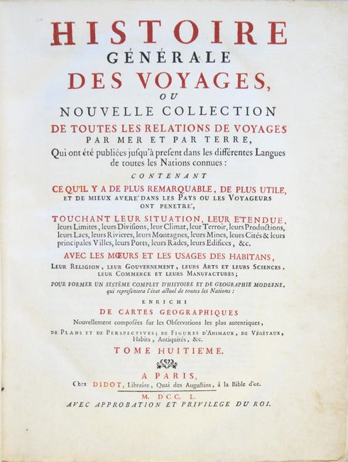
This is a nice example of volume eight of Prevost's history of voyages published in 1750, with maps by Jacques Nicolas Bellin. The volume covers India, Sri Lanka, and the East Indies and includes 16 maps and plans and 10 additional plates. The maps and plans are:
A. Carte de l'Isle de Ceylan (9.5 x 10")
B. Idee de l'Isle de Java (17.1 x 8.1")
C. Plan de Goa (13.7 x 8.1")
D. Vue de Goa (13.6 x 7.5")
E. Carte des Isles Maldives (6 x 8.5")
F. Ile Maurice Nommee Depuis Ile de France (8.7 x 7.4")
G. Plan de la Ville et Forteresse de Malaca (6 x 7.8")
H. Carte Particuliere des Isles Moluques (6 x 8.5")
I. Cartes des Isles Voisines des Moluques (11.6 x 8")
J. Carte des Environs de Batavia (11.2 x 7.9")
K. Plan de la Ville et du Chateau de Batavia (11.7 x 8.5")
L. Plan du Fort Dauphin (10.9 x 8")
M. Carte de l'Isle de Bourbon (9.4 x 7.8")
N. Isle de Baly ou Petite-Java (9 x 8")
O. Iles de Banda (8.4 x 7.3")
P. Fort Hollandois de l'Ile de Banda (8.1 x 7.3")
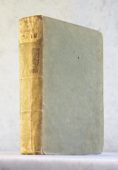
Quarto, 652 pp. with 26 maps and plates. Hardbound in tan paper-covered boards with manuscript title on spine and deckle-edged text.
References:
Condition: A
The maps and engravings are nearly all clean and bright with sharp impressions. A couple of maps have a small rust spot, and two maps are in slightly lesser condition with light toning. Overall the text is clean and bright, with light soiling and toning along the edges. The hinges are starting and the covers are soiled and sunned with bumped corners.